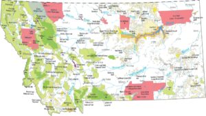
Montana Population Map
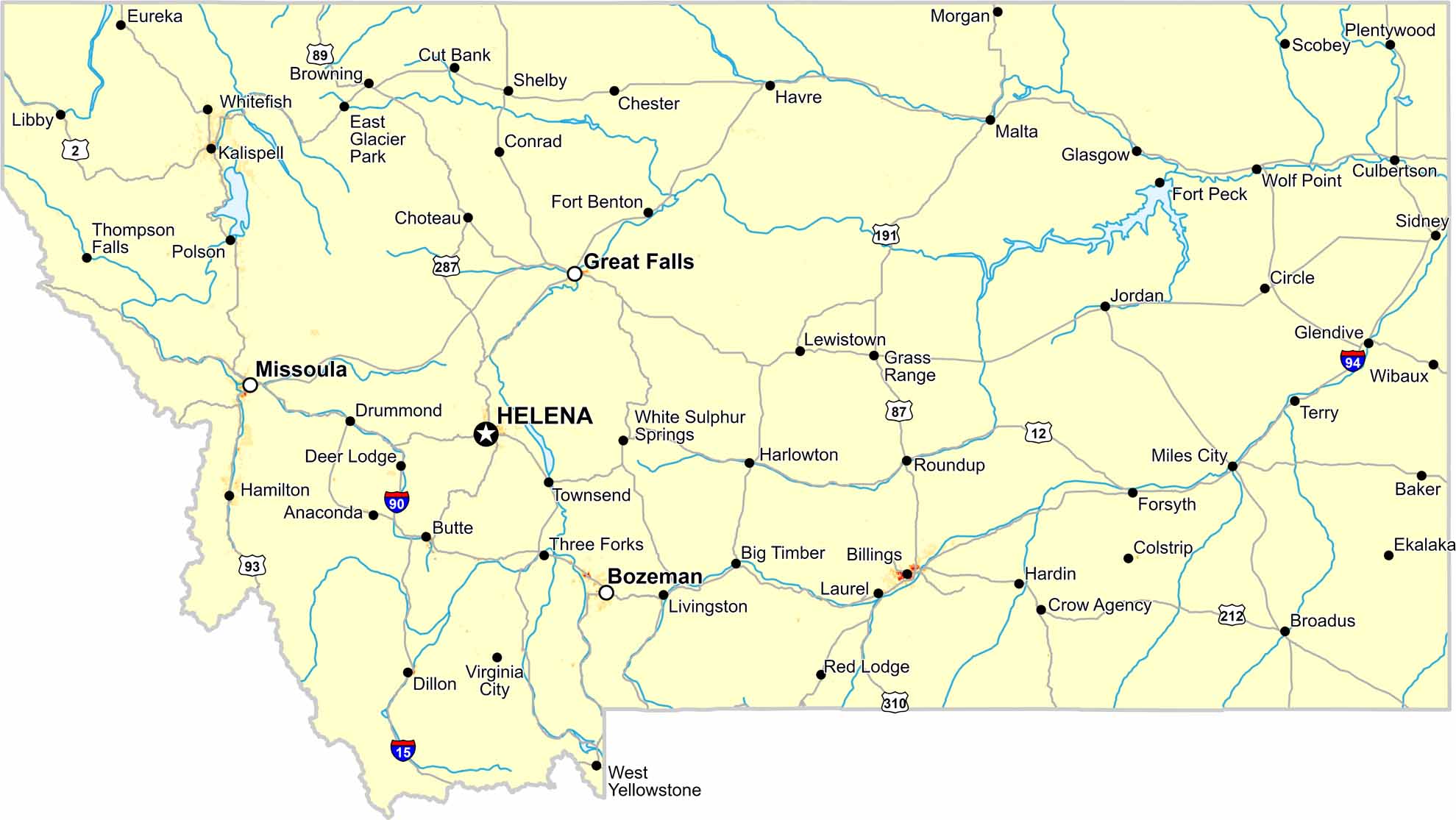
Population density in Montana is extremely low statewide. Our map shows long distances between towns, which is where most people live. Mountains limit wide spread population expansion here.
Map Information
On the Map
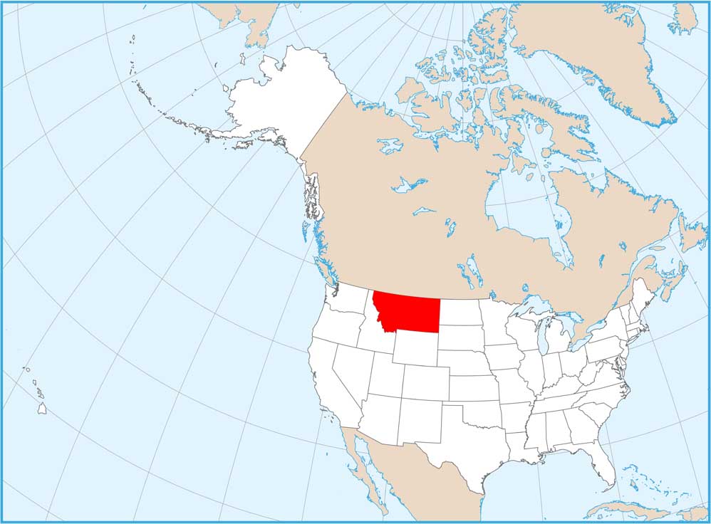
Montana State Maps
Wander through this wide-open state with our map collection.


State Population Maps
Select any state map below to view its population density map.


