Missouri Outline Map
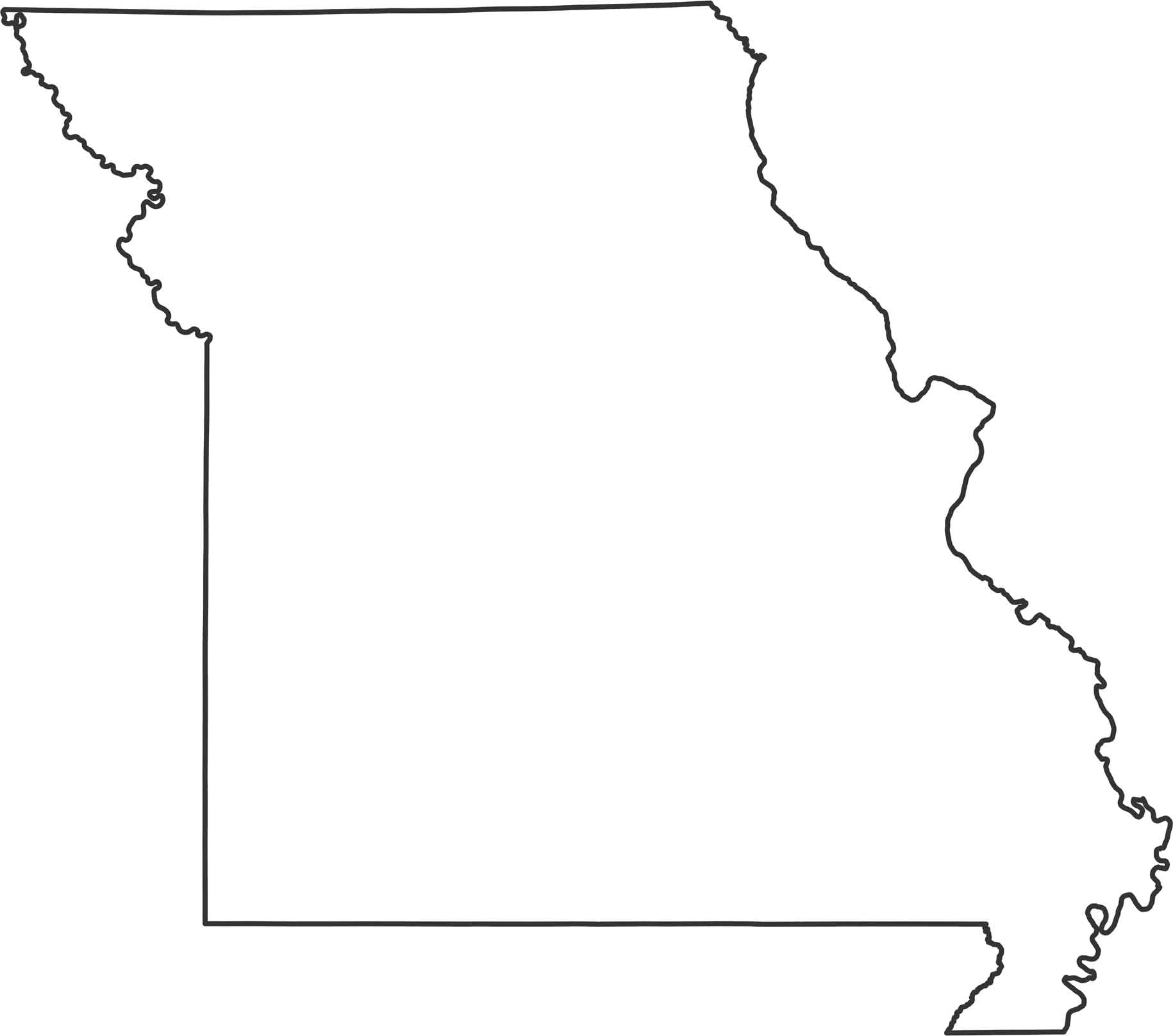
Our Missouri outline map shows how it bends around major rivers, giving it an uneven look. While the Mississippi River forms the entire eastern border, the Missouri River creates part of the northwestern boundary. It borders Iowa (north), Arkansas (south), Kansas (west) and Oklahoma (west) with mostly straight borders.
Map Information
State Outline Maps
Click on a map below to check out outline maps of each state.


Missouri State Maps
Check out state maps of the Show-Me State.


