Mississippi Precipitation Map
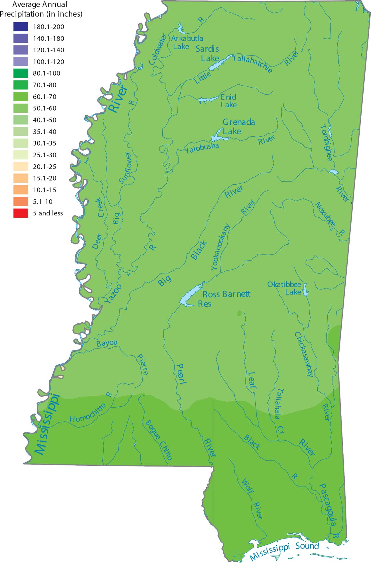
Mississippi is one of the wettest states because it is perfectly placed to catch moisture from the Gulf Coast. Our precipitation map of Mississippi shows that the southern half of the state gets the most rain. Moist Gulf air spreads easily across flat land and steadily remains wet.
Map Information
State Precipitation Maps
Select any state map below to view its precipitation map.


Mississippi State Maps
Explore maps of Mississippi’s towns, rivers, and roads.


