Maryland Precipitation Map

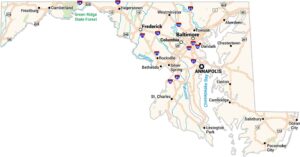
Geography changes quickly from coast to mountains. Western highlands and coastal regions appear wetter on the map. Our precipitation map of Maryland reveals how the Appalachian ridges in the west squeeze out moisture before it reaches the eastern shore.
Map Information
State Precipitation Maps
Select any state map below to view its precipitation map.


Maryland State Maps
See the geography of Maryland with our state maps