Maryland Lakes and Rivers Map
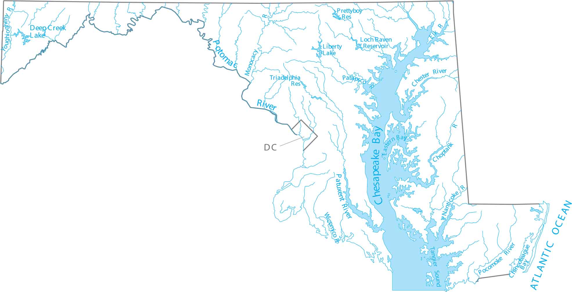
Maryland is Mid-Atlantic, wrapped around the Chesapeake Bay watershed. Check out Maryland’s rivers feeding the Chesapeake Bay. Our map of Maryland shows the Potomac River and tidal waterways.
Map Information
On the Map
Lakes and Rivers State Maps
Select any state map below to view its lakes and rivers map.


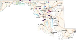
Maryland State Maps
See the geography of Maryland with our state maps