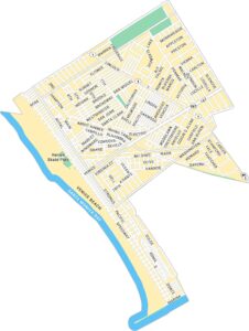
Map of Los Angeles, California
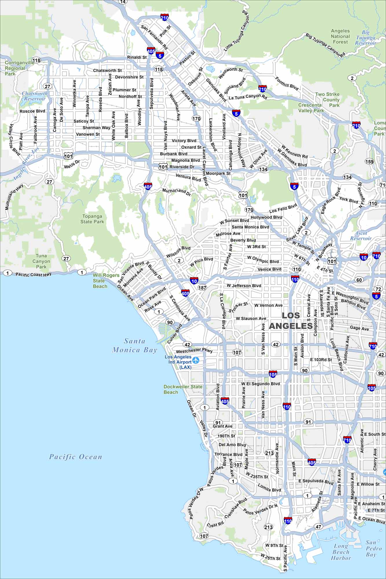
Our map of Los Angeles stretches from the Pacific coast to the San Gabriel Mountains. Freeways form a road network across the city. Its beaches, mountains and deserts makes the city’s geography unique.
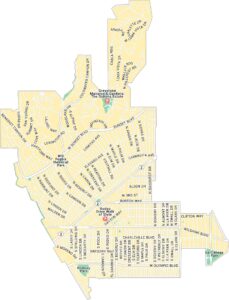
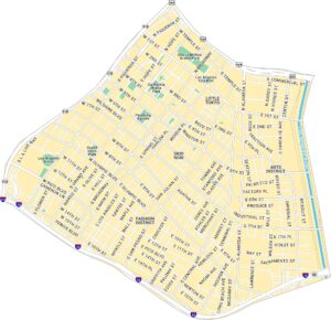
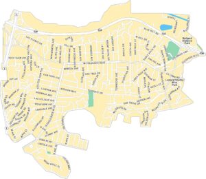
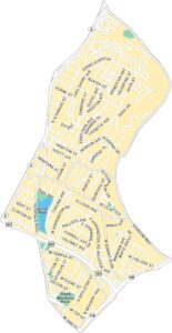
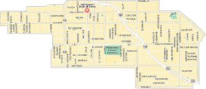
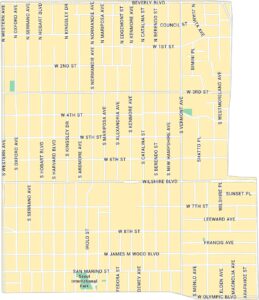
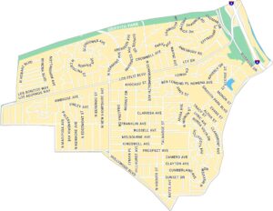
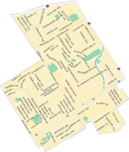
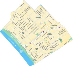
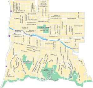
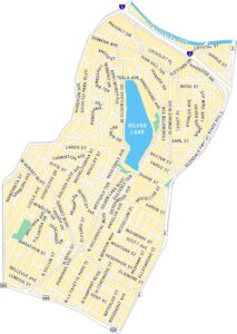
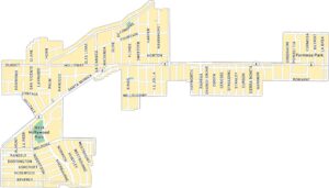
Los Angeles Neighborhood Maps
See our neighborhood maps for a closer look of the city.
California State Maps
Explore California with our state maps


Map Information
On the Map
Interstates/Highways: I-5, I-10, I-105, I-110, I-210, I-405, I-710, US Hwy 101, State Rte 1, State Rte 2, State Rte 14, State Rte 27, State Rte 42, State Rte 47, State Rte 60, State Rte 72, State Rte 90, State Rte 91, State Rte 107, State Rte 118, State Rte 134, State Rte 170, State Rte 187, State Rte 213, Pacific Coast Hwy Major Roads: Wilshire Blvd, Sunset Blvd, Santa Monica Blvd, Sepulveda Blvd, Ventura Blvd, Western Ave, Vermont Ave, Figueroa St, Broadway, Main St, Alameda St, Atlantic Ave, Rosecrans Ave, Imperial Hwy, Manchester Ave, Slauson Ave, Olympic Blvd, Pico Blvd, Hollywood Blvd Airports: Los Angeles Intl Airport (LAX) Lakes and Reservoirs: Pacific Ocean, Santa Monica Bay, San Pedro Bay, Long Beach Harbor, Big Tujunga Reservoir, Chatsworth Reservoir, Ascot Reservoir, Silver Lake Major Rivers: Los Angeles River Parks and Preserves: Angeles National Forest, Topanga State Park, Corriganville Regional Park, Two Strike County Park, Will Rogers State Beach, Dockweiler State BeachCalifornia City Maps
Here are detailed maps of California


