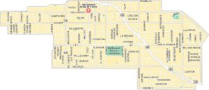
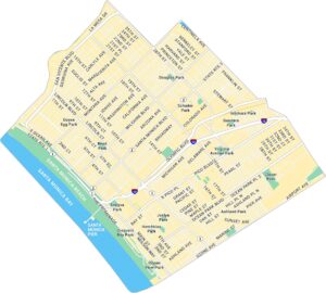
Eagle Rock Map, Los Angeles
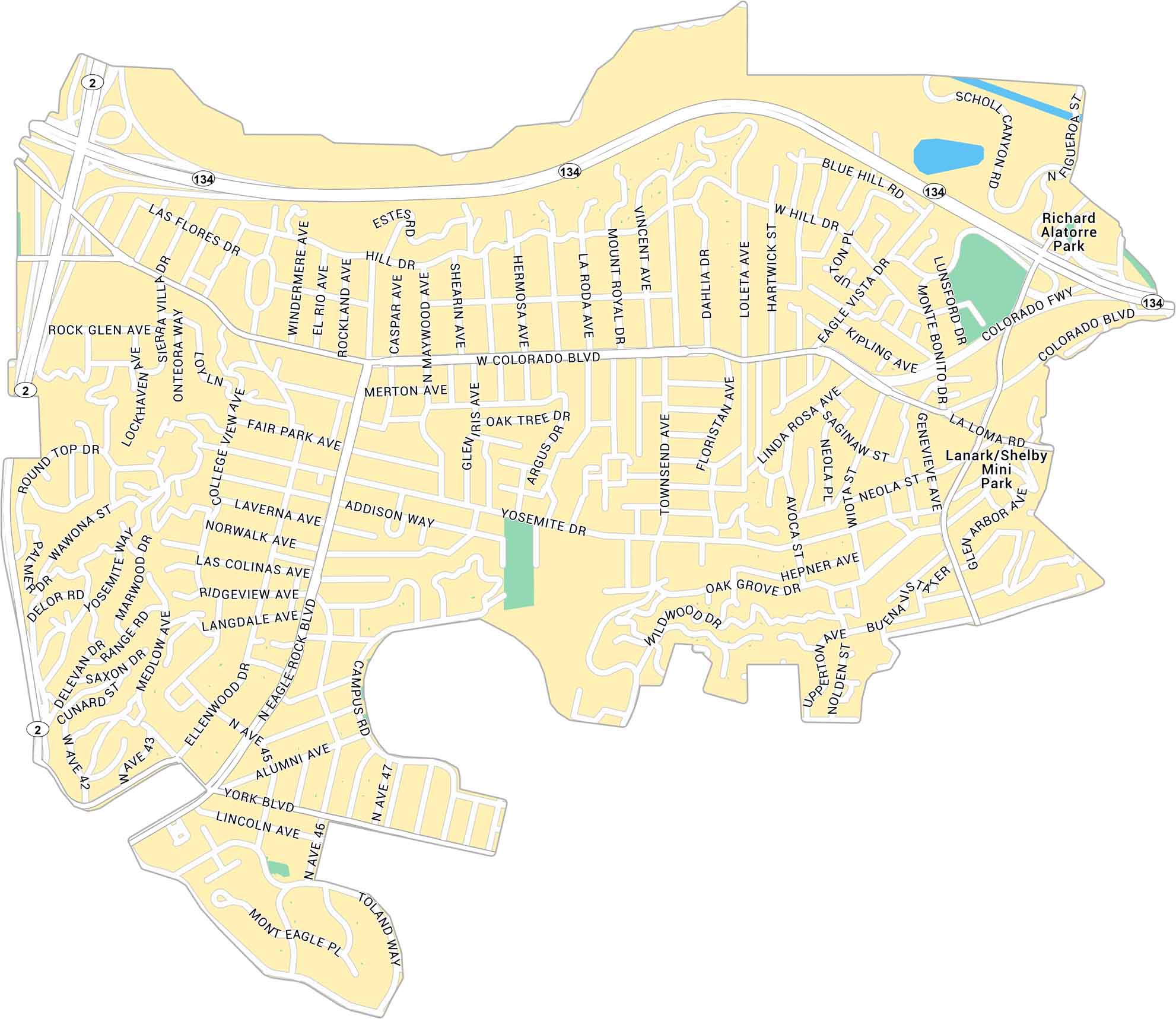
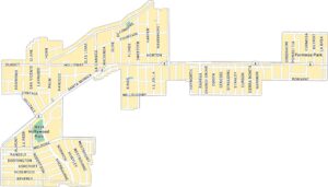
Discover Eagle Rock with our map, showing the Los Angeles neighborhood located between the Pasadena Hills and Glendale. It lays out main streets and local parks within a relaxed section of L.A.
Map Information
On the Map
Interstates/Highways: State Rte 2, State Rte 134 Major Roads: Colorado Blvd, Eagle Rock Blvd, Yosemite Dr, York Blvd, Figueroa St, Townsend Ave, Glen Iris Ave, Fair Park Ave, Ellenwood Dr, Merton Ave, Addison Way, Hill Dr, Las Flores Dr, Rock Glen Ave, Alumni Ave, Campus Rd, Lincoln Ave, Toland Way, Norwalk Ave, Chickasaw Ave Parks: Richard Alatorre ParkLos Angeles Neighborhood Maps
See our neighborhood maps for a closer look of the city.
California City Maps
Here are detailed maps of California


