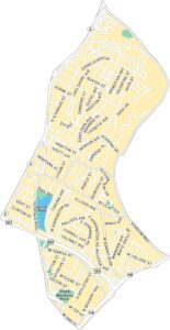
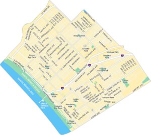
Los Feliz Map, Los Angeles
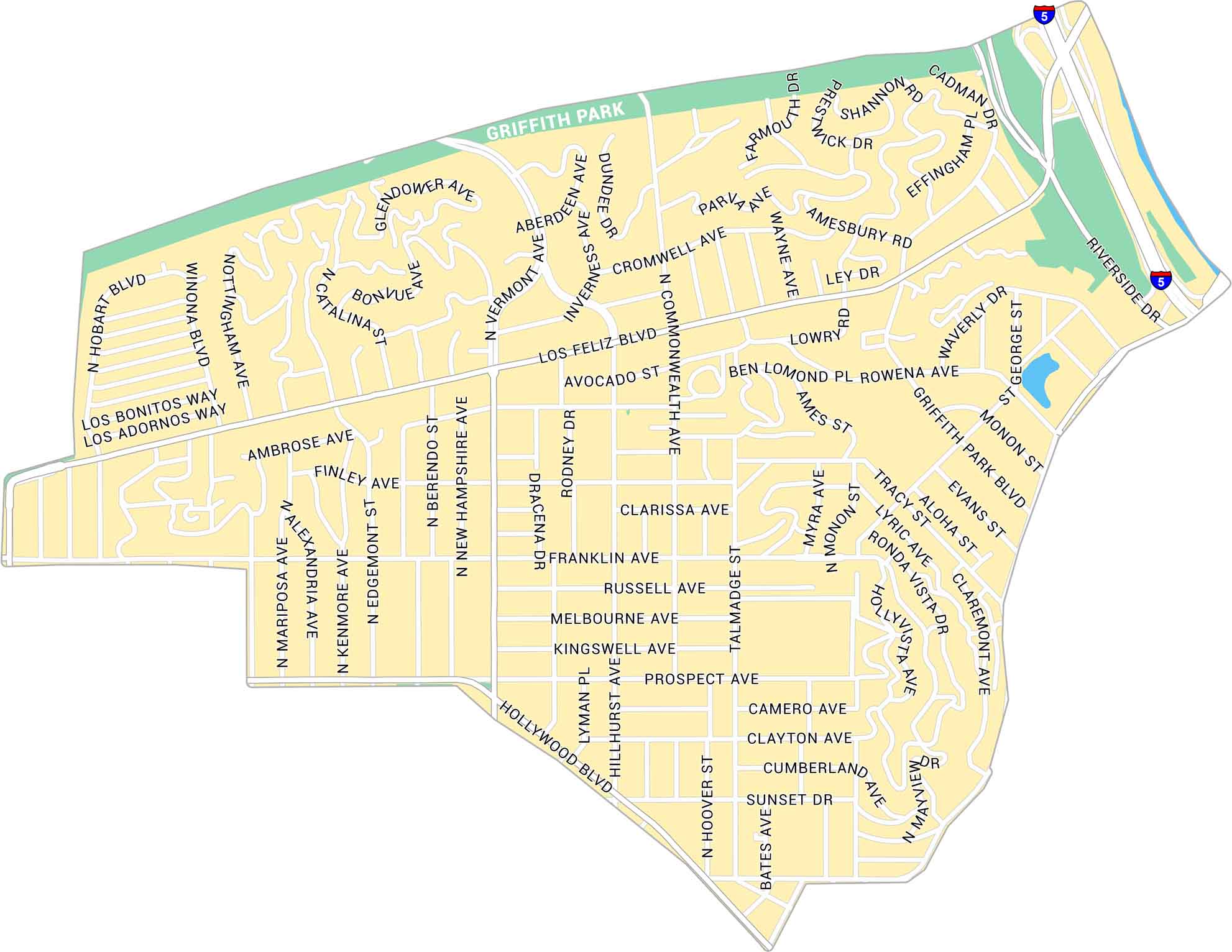
Explore Los Feliz with our map, showing this LA neighborhood at the base of Griffith Park. Follow its main streets, green spaces, and nearby hills. It’s a laid-back corner of Los Angeles with great access to trails and city life.
Map Information
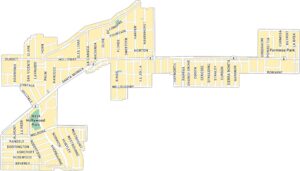
On the Map
Interstates/Highways: I-5 Major Roads: Los Feliz Blvd, Sunset Dr, Hollywood Blvd, Vermont Ave, Riverside Dr, Hillhurst Ave, Hoover St, Commonwealth Ave, Franklin Ave, Prospect Ave, Griffith Park Blvd, Rowena Ave, Hyperion Ave, Talmadge St, Rodney Dr, Dracena Dr, Amesbury Rd, Cromwell Ave, Aberdeen Ave, Glendower Ave Parks: Griffith ParkLos Angeles Neighborhood Maps
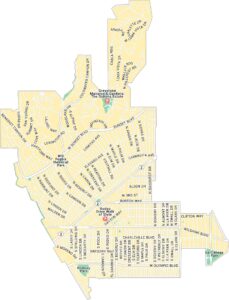
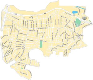
See our neighborhood maps for a closer look of the city.
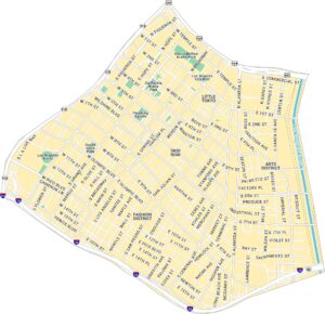
California City Maps
Here are detailed maps of California


