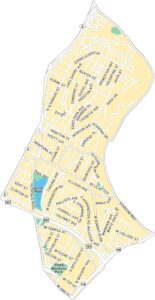
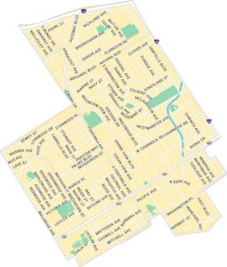
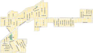
Sherman Oaks Map, Los Angeles
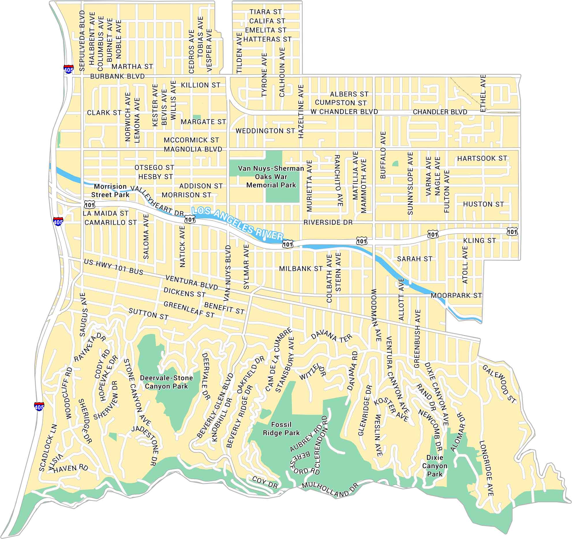
Sherman Oaks sits in the heart of the San Fernando Valley. It’s situated as part of the Santa Monica Mountains and the 101 Freeway. Our Sherman Oaks map highlights its streets, Ventura Boulevard, and nearby parks.
Map Information
On the Map
Interstates/Highways: I-405, US Hwy 101 Major Roads: Ventura Blvd, Burbank Blvd, Magnolia Blvd, Riverside Dr, Woodman Ave, Van Nuys Blvd, Sepulveda Blvd, Beverly Glen Blvd, Kester Ave, Hazeltine Ave, Fulton Ave, Coldwater Canyon Ave, Chandler Blvd, Moorpark St, Greenleaf St, Dickens St, Valleyheart Dr, Mulholland Dr, Stone Canyon Rd, Benedict Canyon Dr Major Rivers: Los Angeles River Parks: Van Nuys-Sherman Oaks War Memorial Park, Fossil Ridge Park, Dixie Canyon Park, Deervale-Stone Canyon ParkLos Angeles Neighborhood Maps
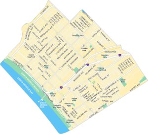
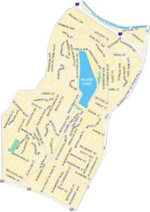
See our neighborhood maps for a closer look of the city.
California City Maps
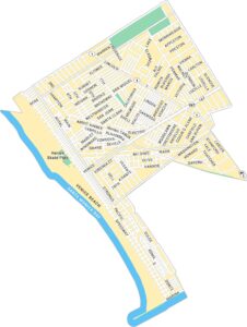
Here are detailed maps of California


