Delaware Precipitation Map
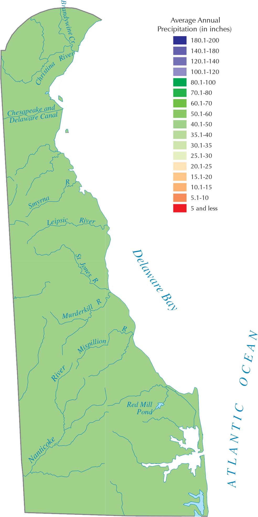
Our precipitation map of Delaware shows pretty even rainfall across the whole state since it’s flat and sits right on the Atlantic coast. Being sandwiched between the ocean and Chesapeake Bay keeps things consistently wet. The map also shows little to no change from north to south.
Map Information
State Precipitation Maps
Select any state map below to view its precipitation map.


Delaware State Maps
Uncover Delaware with our state maps