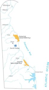
Delaware Population Map
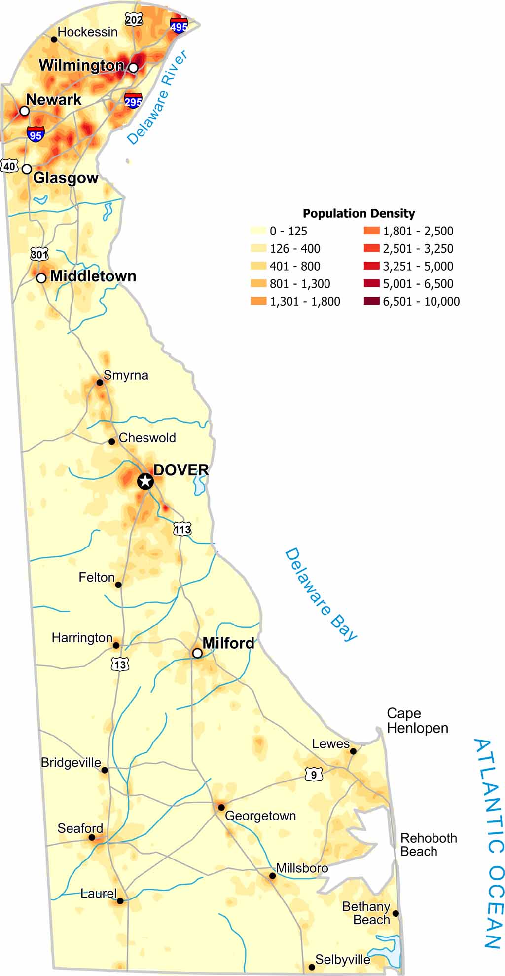
Northern Delaware holds most of the population on our population density map. There are high density areas along major highways near Wilmington but southern areas thin out for population quickly.
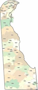
Map Information
On the Map
Delaware State Maps
Uncover Delaware with our state maps


State Population Maps
Select any state map below to view its population density map.


