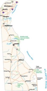
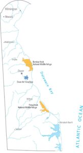
Delaware Lakes and Rivers Map
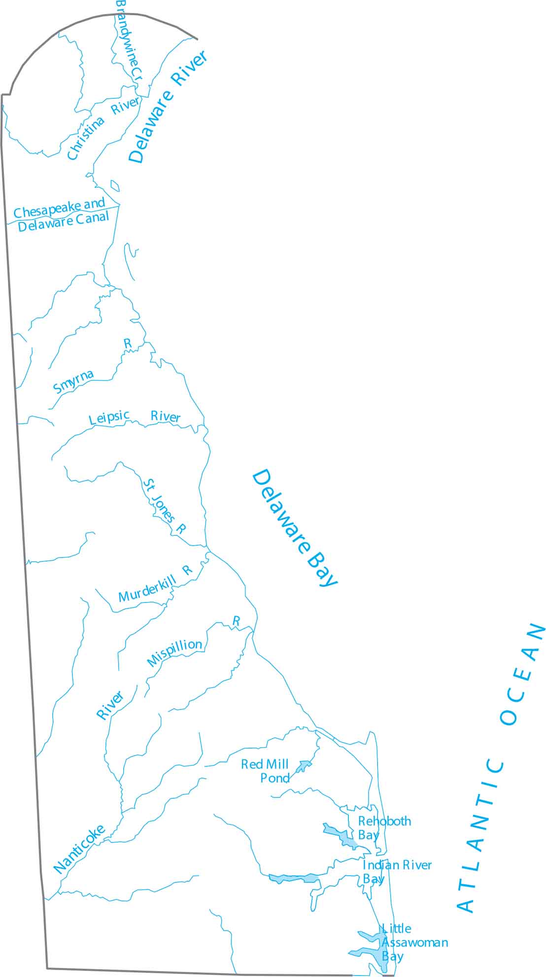
Spot what’s where across Delaware’s rivers and bays. Our map of Delaware outlines the Delaware River and nearby tidal waters. Delaware is on the Mid-Atlantic coast, defined by the Delaware River to the east.
Map Information
On the Map
Lakes and Rivers State Maps
Select any state map below to view its lakes and rivers map.