Home » State Maps » Map of Colorado

Map of Colorado

Colorado Map

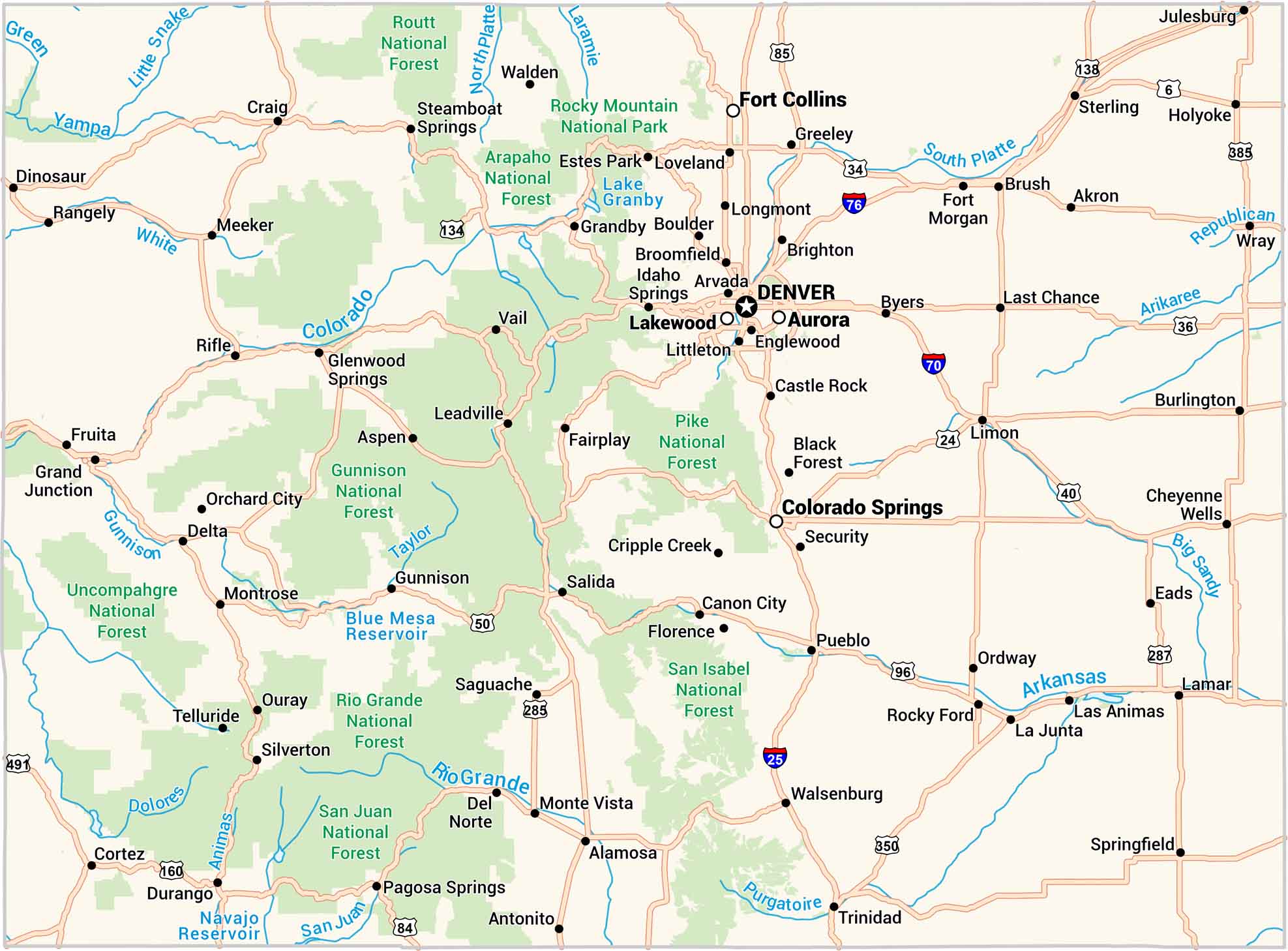
Colorado isn’t just mountains. It has winding highways, green forests and towns tucked between ridges. Our map shows it all, from Denver’s grid to scenic Aspen. Follow the rivers, find the lakes, and see how wild the landscape really is.
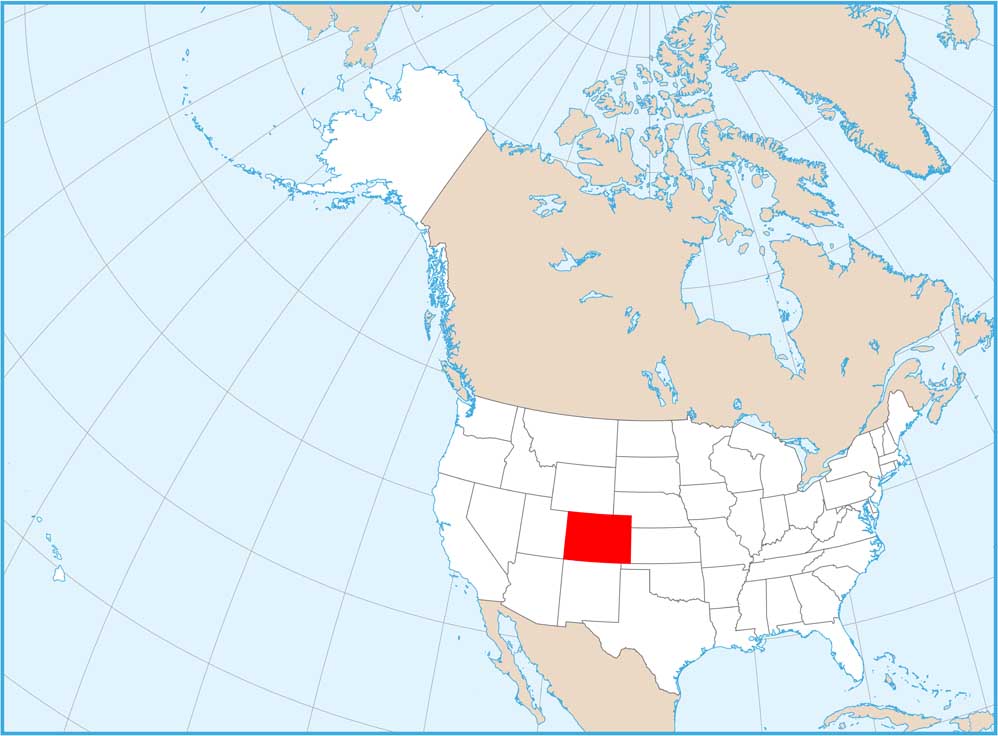
Map Information

  • State of Colorado
  • Road Map of Colorado
  • Free for personal and commercial purpose. Attribution is required. How to attribute?

On the Map

Colorado Location Map
State Capital: Denver Major Cities: Aurora, Colorado Springs, Fort Collins, Lakewood Cities and Towns: Akron, Alamosa, Antonito, Arvada, Aspen, Black Forest, Boulder, Brighton, Broomfield, Brush, Burlington, Byers, Canon City, Castle Rock, Cheyenne Wells, Cortez, Craig, Cripple Creek, Del Norte, Delta, Dinosaur, Durango, Eads, Englewood, Estes Park, Fairplay, Florence, Fort Morgan, Fruita, Glenwood Springs, Grand Junction, Grandby, Greeley, Gunnison, Holyoke, Idaho Springs, Julesburg, La Junta, Lamar, Las Animas, Last Chance, Leadville, Limon, Littleton, Longmont, Loveland, Meeker, Monte Vista, Montrose, Orchard City, Ordway, Ouray, Pagosa Springs, Pueblo, Rangely, Rifle, Rocky Ford, Saguache, Salida, Security, Silverton, Springfield, Steamboat Springs, Sterling, Telluride, Trinidad, Vail, Walden, Walsenburg, Wray Interstate Highways: I-25, I-70, I-76, I-225, I-270 US Routes: U.S. Hwy 6, U.S. Hwy 24, U.S. Hwy 34, U.S. Hwy 36, U.S. Hwy 40, U.S. Hwy 50, U.S. Hwy 84, U.S. Hwy 85, U.S. Hwy 96, U.S. Hwy 134, U.S. Hwy 138, U.S. Hwy 160, U.S. Hwy 285, U.S. Hwy 287, U.S. Hwy 350, U.S. Hwy 385, U.S. Hwy 491, U.S. Hwy 550 Lakes and Reservoirs: Lake Granby, Blue Mesa Reservoir, Navajo Reservoir Rivers and Streams: Green River, Yampa River, Little Snake River, White River, Colorado River, North Platte River, Laramie River, South Platte River, Republican River, Arikaree River, Big Sandy Creek, Arkansas River, Purgatoire River, Rio Grande, San Juan River, Animas River, Dolores River, Gunnison River, Taylor River National Parks and Forests: Routt National Forest, Rocky Mountain National Park, Arapaho National Forest, Pike National Forest, San Isabel National Forest, Rio Grande National Forest, San Juan National Forest, Uncompahgre National Forest, Gunnison National Forest

Colorado City Maps

Here are maps of Colorado’s urban areas

References

  1. The Official Website of the State of Colorado
  2. Colorado in Google Maps

Leave a Reply

Your email address will not be published. Required fields are marked *