Map of Durango, Colorado
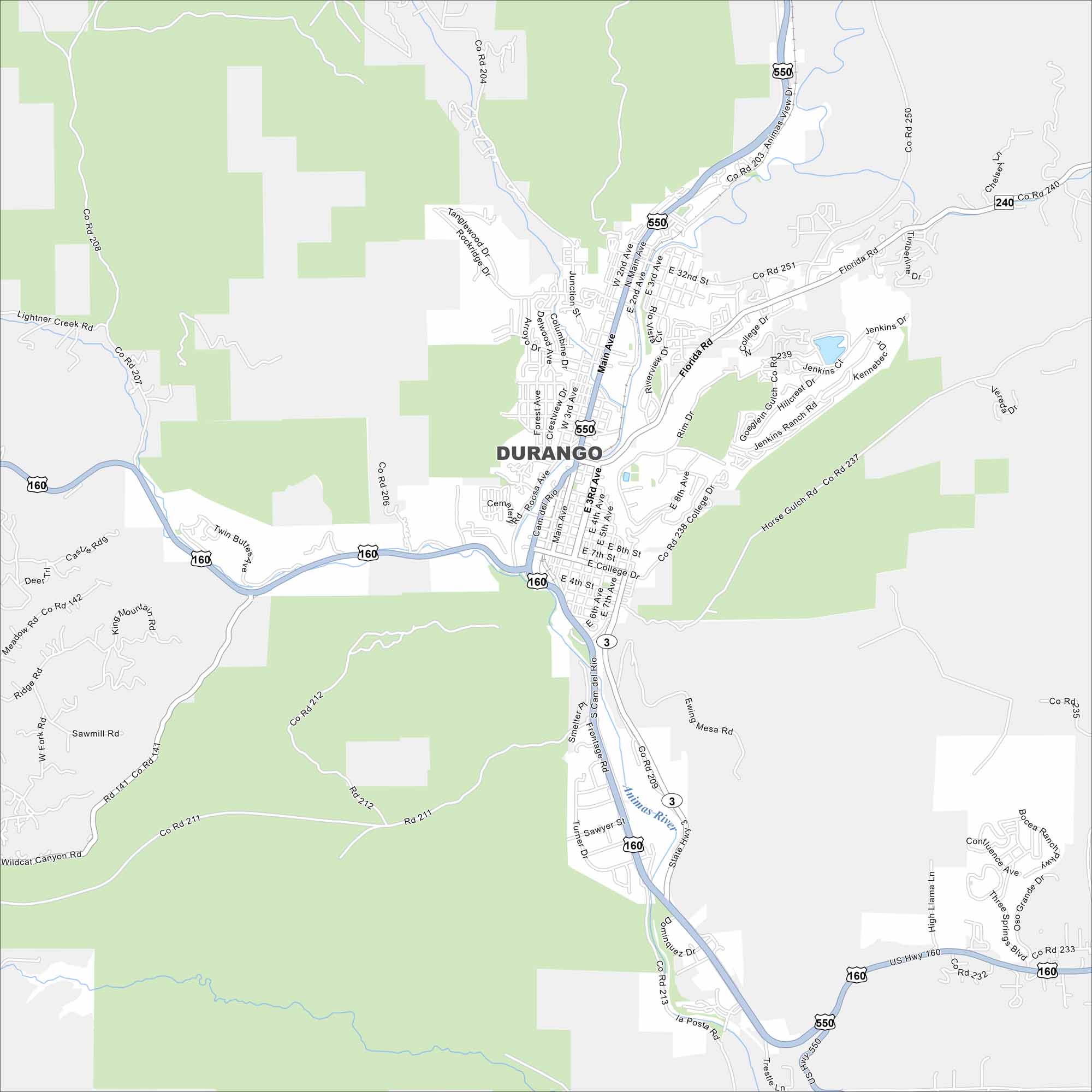
Our map of Durango highlights the Animas River winding along US-160. Mountains surround it on nearly all sides. It’s famous as a gateway to the San Juan range and the historic narrow-gauge railroad.
Colorado State Maps
Browse Colorado with our detailed state maps


Map Information
On the Map
Interstates/Highways: US Hwy 550, US Hwy 160, State Rte 3 Major Roads: Main Ave, College Dr, Florida Rd, 32nd St, Goeglein Gulch Rd, 15th St, 9th St, 2nd Ave, 3rd Ave, 8th Ave, Roosa Ave, Camino del Rio, Junction St, Park Ave Major Rivers: Animas RiverColorado City Maps
Here are maps of Colorado’s urban areas


