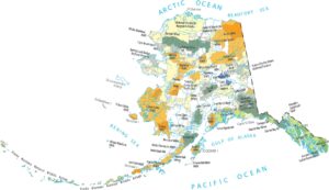
Alaska Population Map
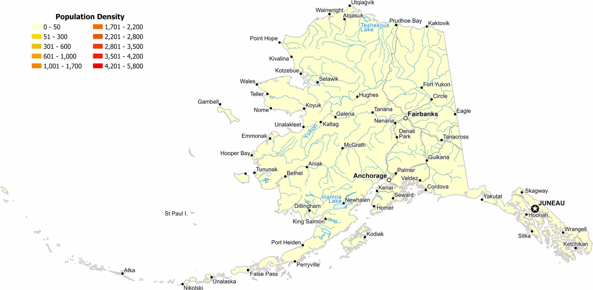
That’s a whole lot of empty space! As you can see on our density map, vast areas of Alaska show extremely low population density. The only real places that have show up on our map is Anchorage, Juneau and Fairbanks.
Map Information
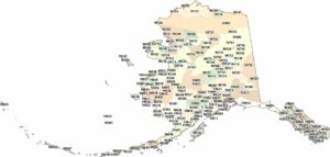
On the Map
Alaska State Maps
Take a look at our Alaska state maps


State Population Maps
Select any state map below to view its population density map.


