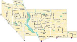
Map of Houston, Texas
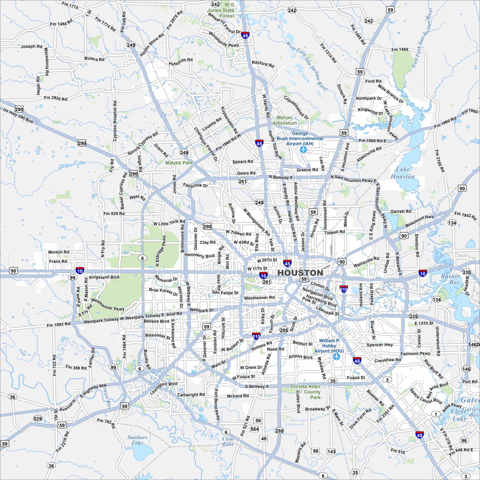
Our map of Houston shows a network of highways circling and crossing the city. Buffalo Bayou winds through the downtown area. The city is known as “Space City” because of its role in NASA’s space program.
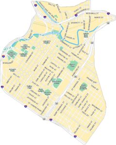
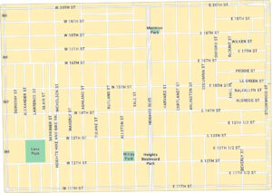
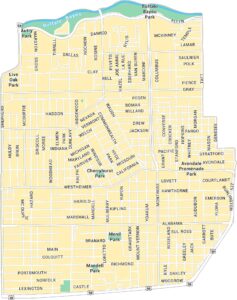
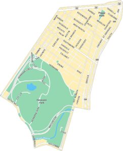
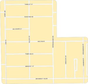
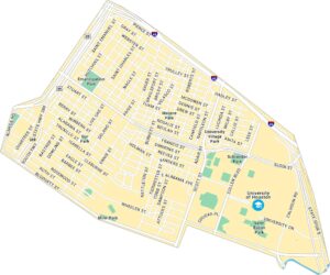
Houston Neighborhood Maps
See our neighborhood maps for a closer look of the city.
Map Information
On the Map
Interstates/Highways: I-10, I-45, I-610, US Hwy 90, US Hwy 290, State Hwy 242, State Hwy 249, State Hwy 288 Major Roads: Beltway 8, Sam Houston Pkwy, Westheimer Rd, Main St, Memorial Dr, Gessner Rd, Dairy Ashford Rd, Kirby Dr, Fannin St, Scott St, Shepherd Dr, Durham Dr, Yale St, Heights Blvd, Navigation Blvd, Polk St, Lawndale St, Bissonnet St, Richmond Ave, Bellaire Blvd Airports: George Bush Intercontinental Airport (IAH), William P. Hobby Airport (HOU) Lakes and Reservoirs: Lake Houston, Burnet Bay, Clear Lake, Smithers Lake Major Rivers: West Fork San Jacinto River, East Fork San Jacinto River, Brazos River Parks and Preserves: Jones State Forest Nearby Communities: The Woodlands, Kingwood, Atascocita, Sheldon, Channelview, Pasadena, South Houston, Pearland, Missouri City, Sugar Land, Mission Bend, KatyTexas State Maps
Scan our maps of the massive southern state of Texas.


City Maps of Texas
Explore our map collection of Texas cities.


