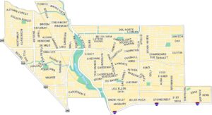
Museum District Map, Houston
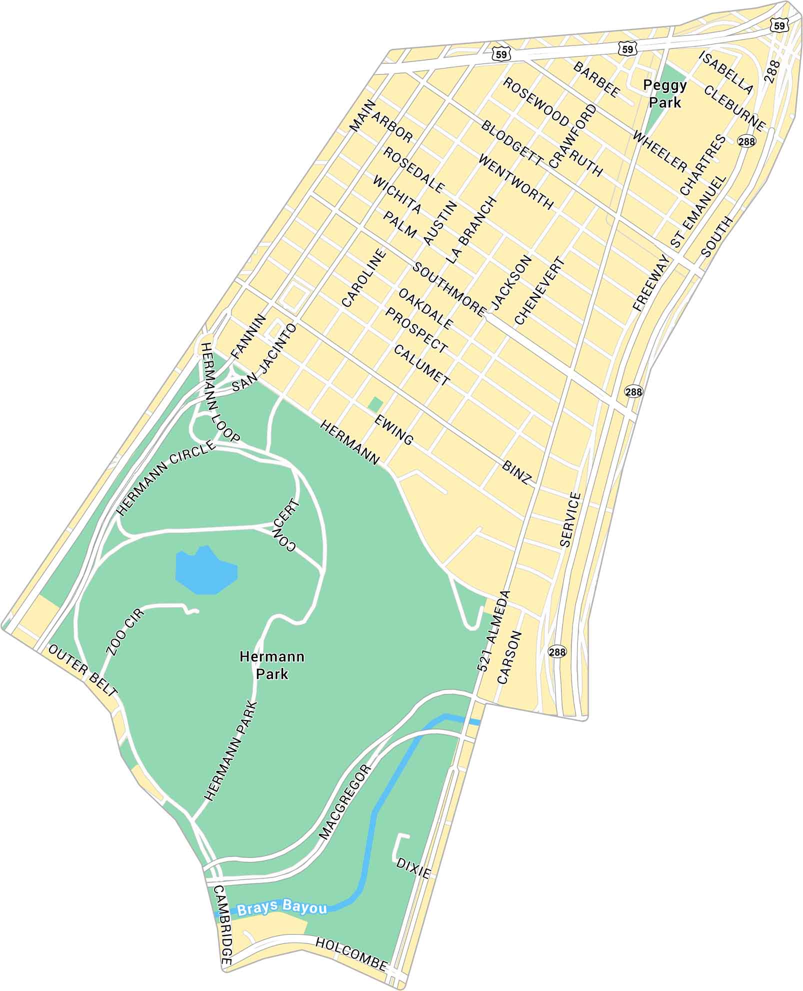
Our map of the Museum District shows the area south of downtown Houston near Hermann Park. It highlights all the major streets connecting through the district. Get to know this cultural hub with our free map.
Map Information
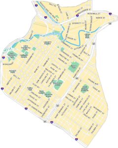
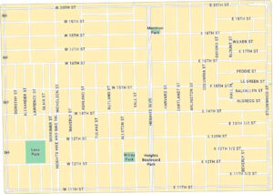
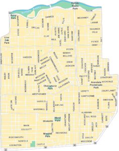
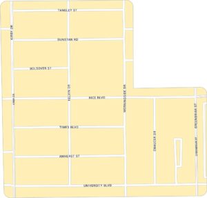
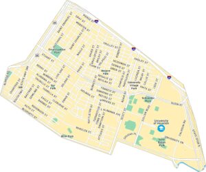
Houston Neighborhood Maps
See our neighborhood maps for a closer look of the city.
On the Map
Interstates/Highways: US Hwy 59, State Rte 288 Major Roads: Main St, Fannin St, San Jacinto St, Caroline St, Austin St, La Branch St, Almeda Rd, Binz St, Southmore Blvd, Ewing St, Hermann Dr, MacGregor Way, Holcombe Blvd, Cambridge St, Wheeler Ave, Cleburne St, Blodgett St, Rosewood St, Barbee St, Oakdale St Bayous/Rivers: Brays Bayou Parks: Hermann Park, Peggy ParkCity Maps of Texas
Explore our map collection of Texas cities.


