Oak Forest Map Houston
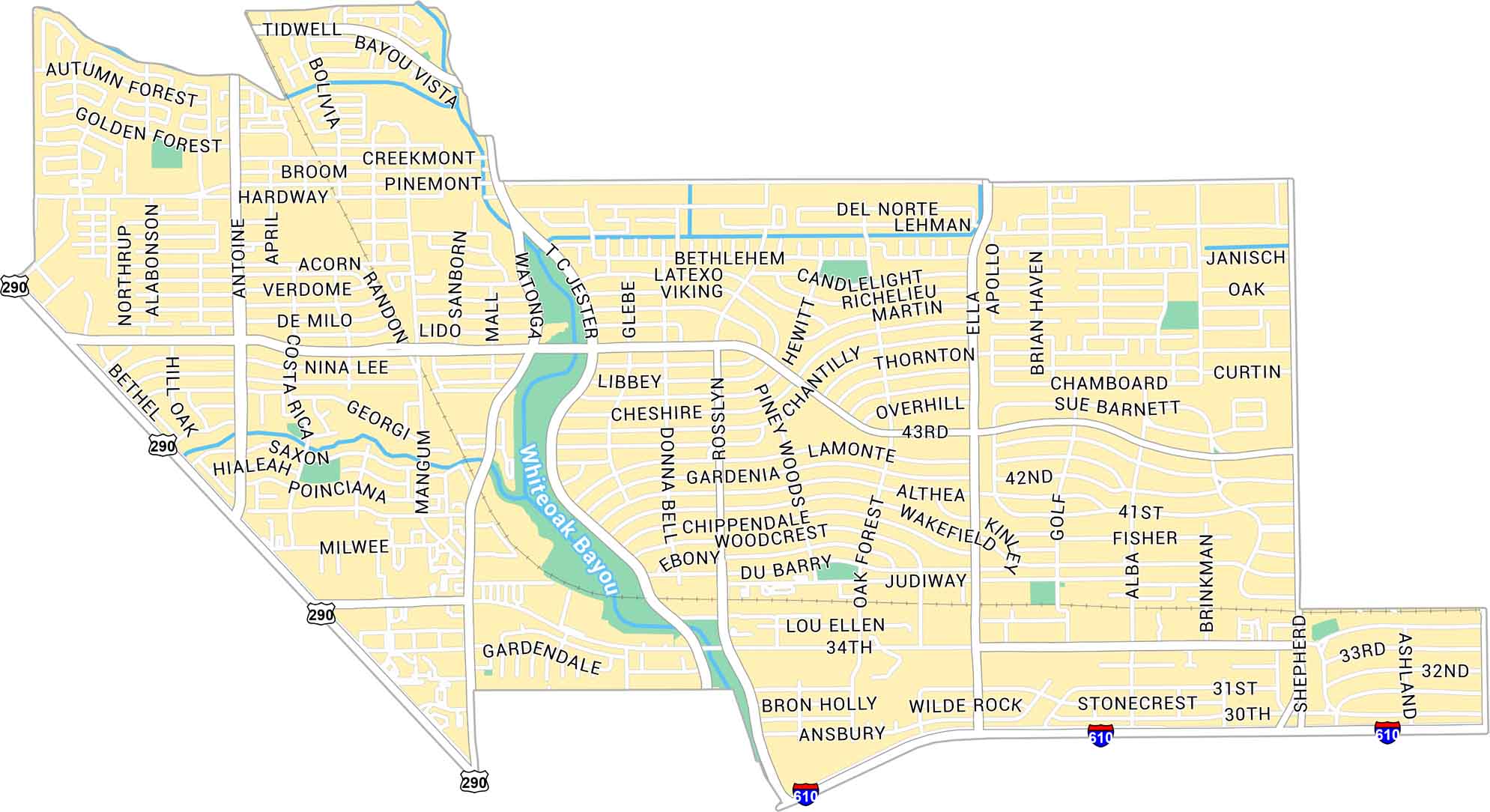
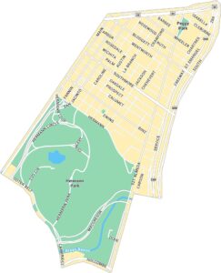
Oak Forest is located in northwest Houston, just outside the 610 Loop. As you can see on our map of Oak Forest, it’s a residential area with lots of local parks and the White Oak Bayou cutting through it.
Map Information
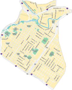
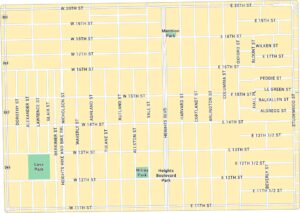
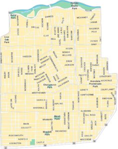
Houston Neighborhood Maps
See our neighborhood maps for a closer look of the city.
On the Map
Interstates/Highways: US Hwy 290, I-610 Major Roads: 34th St, 43rd St, Shepherd Dr, TC Jester Blvd, Antoine Dr, Pinemont Dr, Tidwell Rd, Ella Blvd, Watonga Blvd, Rosslyn Rd, Mangum Rd, Oak Forest Dr, 30th St, 31st St, 32nd St, 33rd St, 41st St, 42nd St, Westview Dr, Golf Dr Bayous/Rivers: Whiteoak BayouCity Maps of Texas
Explore our map collection of Texas cities.


