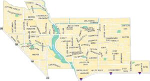
Downtown Houston Map
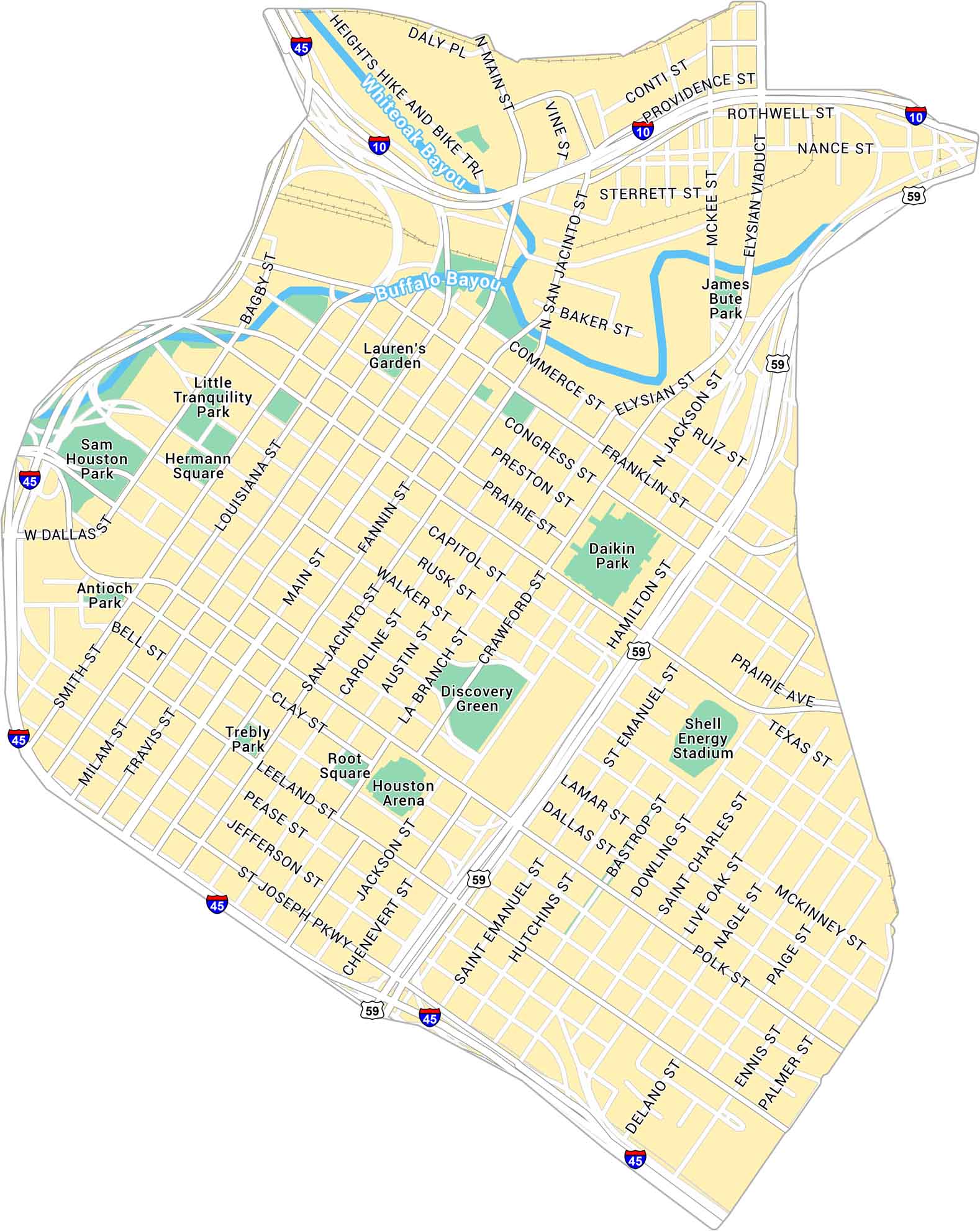
This map of Downtown Houston shows how the districts link together through freeways and light rail lines. From Discovery Green to Buffalo Bayou, you can see it all on our map. Highways, streets, and parks are also easy to find.
Map Information
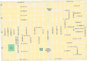
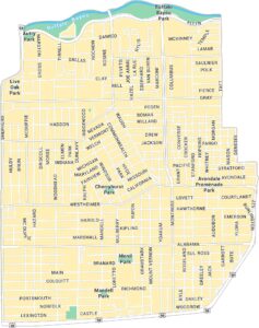
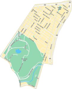
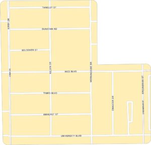
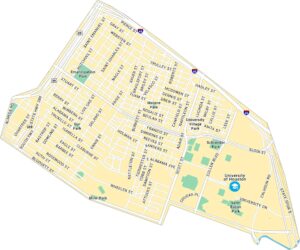
Houston Neighborhood Maps
See our neighborhood maps for a closer look of the city.
On the Map
Interstates/Highways: I-45, I-10, US Hwy 59 Major Roads: Main St, Louisiana St, Smith St, Travis St, Milam St, Congress St, Franklin St, Capitol St, Rusk St, Walker St, McKinney St, Lamar St, Dallas St, Pease St, Jefferson St, St Joseph Pkwy, Chartres St, San Jacinto St, Fannin St, Austin St Major Rivers: Whiteoak Bayou, Buffalo Bayou Parks: Lauren’s Garden, Little Tranquility Park, Sam Houston Park, Hermann Square, Antioch Park, Trebly Park, Root Square, Discovery Green, Daikin Park, James Bute Park Landmarks: Heights Hike and Bike Trl, Houston Arena, Shell Energy StadiumCity Maps of Texas
Explore our map collection of Texas cities.


