South Carolina Outline Map
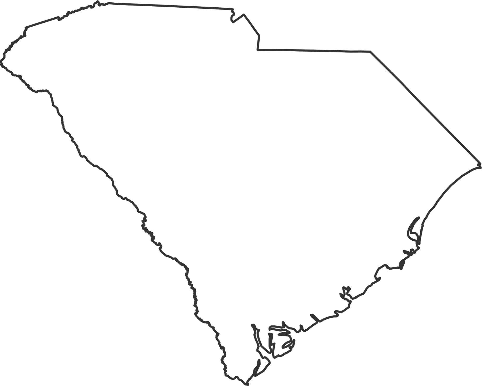
South Carolina leans toward the Atlantic with a curved eastern side. The western border follows the Savannah River with Georgia, while the Chattooga River forms part of the northwestern edge. Use our outline map of South Carolina to familiarize yourself with its shape.
Map Information
State Outline Maps
Click on a map below to check out outline maps of each state.


South Carolina State Maps
Explore maps across the Palmetto State.


