US County Map
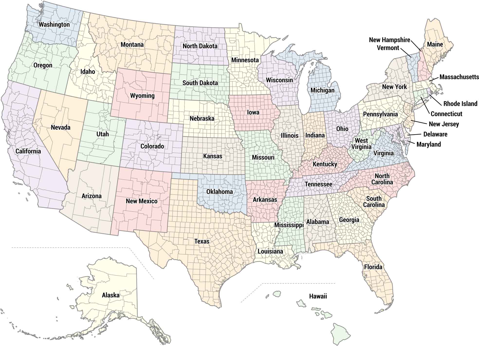
Our US county map shows all 3,000+ counties across the country. Each state is colored differently so you can easily tell them apart. The map displays county boundaries as outlines within each state.
Map Information
State County Maps
Click on a map below to check out county maps of each state.


