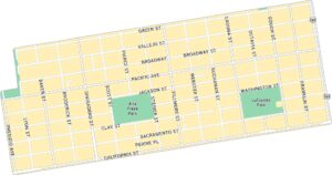
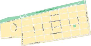
Downtown San Francisco Map
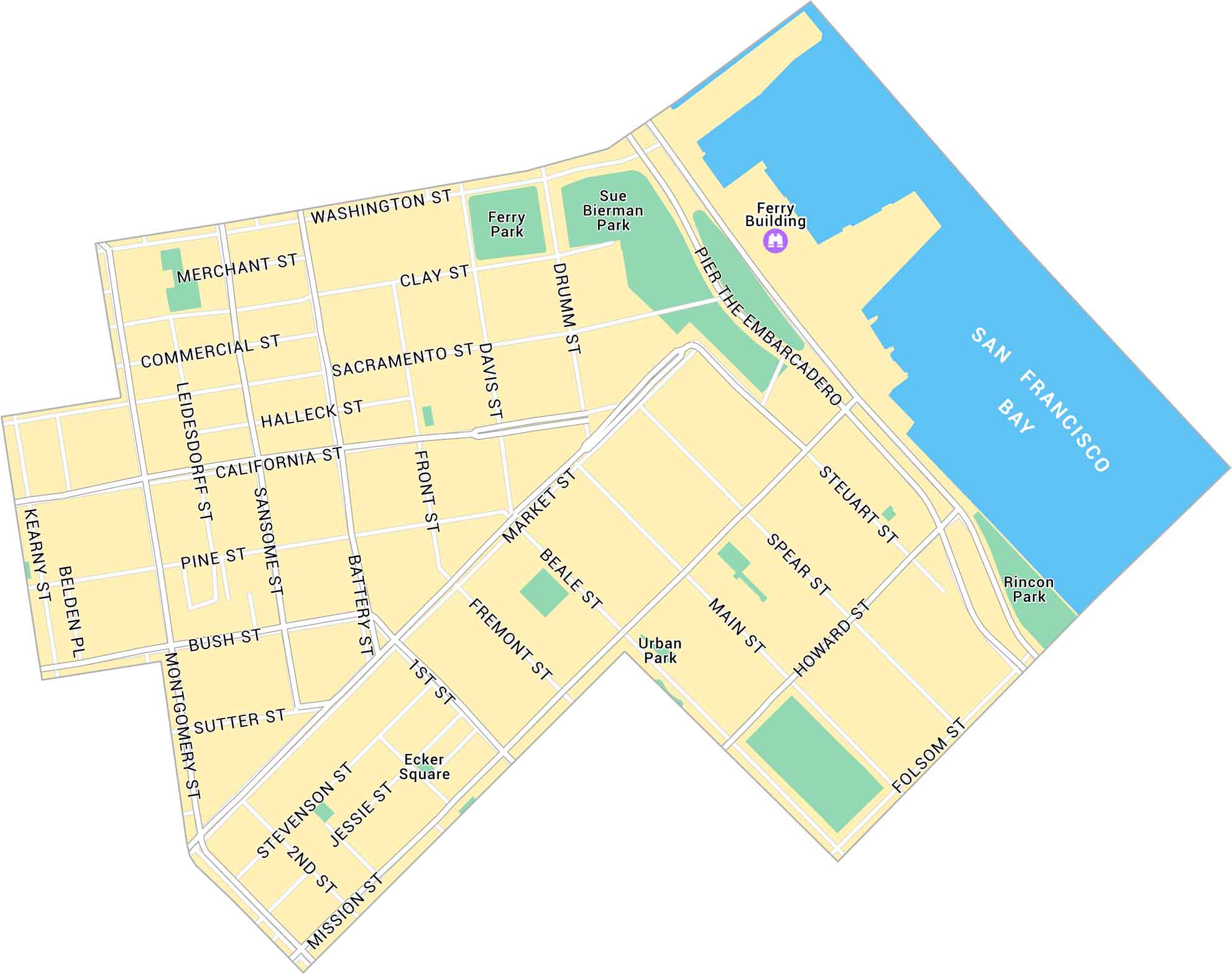
Our map of Downtown San Francisco shows the city’s core. It stretches from Market to Washington Street. We show its streets, parks and Ferry Building.
Map Information
On the Map
Interstates/Highways: I-80 Major Roads: Market St, Mission St, Howard St, Folsom St, Harrison St, Bryant St, Brannan St, Embarcadero, 1st St, 2nd St, 3rd St, 4th St, 5th St, 6th St, 7th St, Main St, Spear St, Steuart St, Fremont St, Beale St Lakes/Reservoirs: San Francisco Bay Parks: Ferry Park, Sue Bierman Park, Rincon Park, Ecker SquareSan Francisco Neighborhood Maps
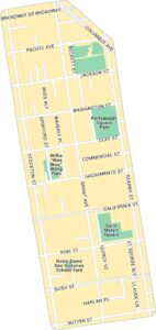
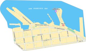
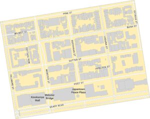
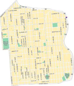
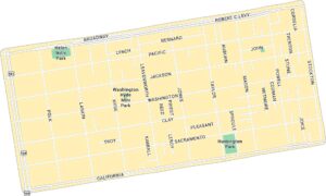
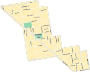
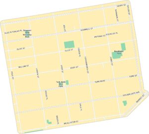
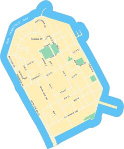
See our neighborhood maps for a closer look of the city.
California City Maps
Here are detailed maps of California


