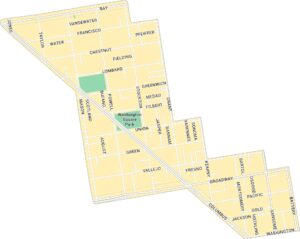
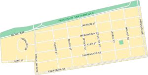
Japantown Map, San Francisco
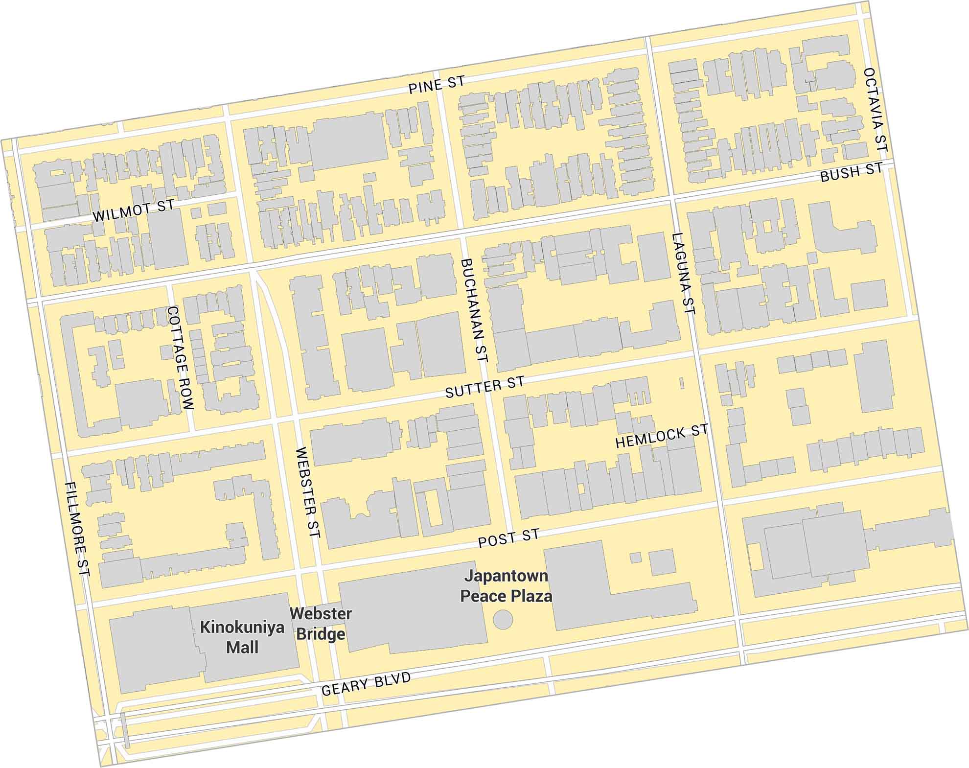
Japantown sits in central San Francisco, just west of Van Ness Avenue. This map shows its main plaza, surrounding streets, and nearby parks. It’s a small, historic district with a tight layout and local character in San Francisco.
Map Information
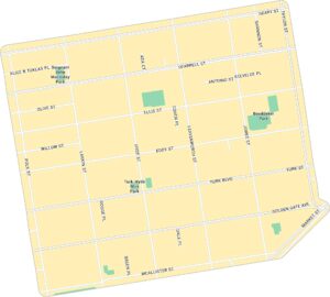
On the Map
Major Roads: Geary Blvd, Post St, Sutter St, Bush St, Pine St, Fillmore St, Webster St, Buchanan St, Laguna St, Octavia Blvd, Gough St, Franklin St Parks: Japantown Peace Plaza Landmarks: Kinokuniya Mall, Webster BridgeSan Francisco Neighborhood Maps
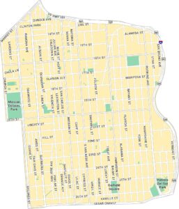
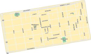
See our neighborhood maps for a closer look of the city.
California City Maps
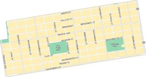
Here are detailed maps of California


