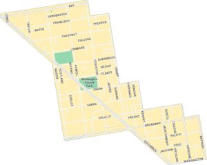
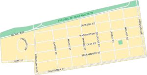
Pacific Heights Map, San Francisco
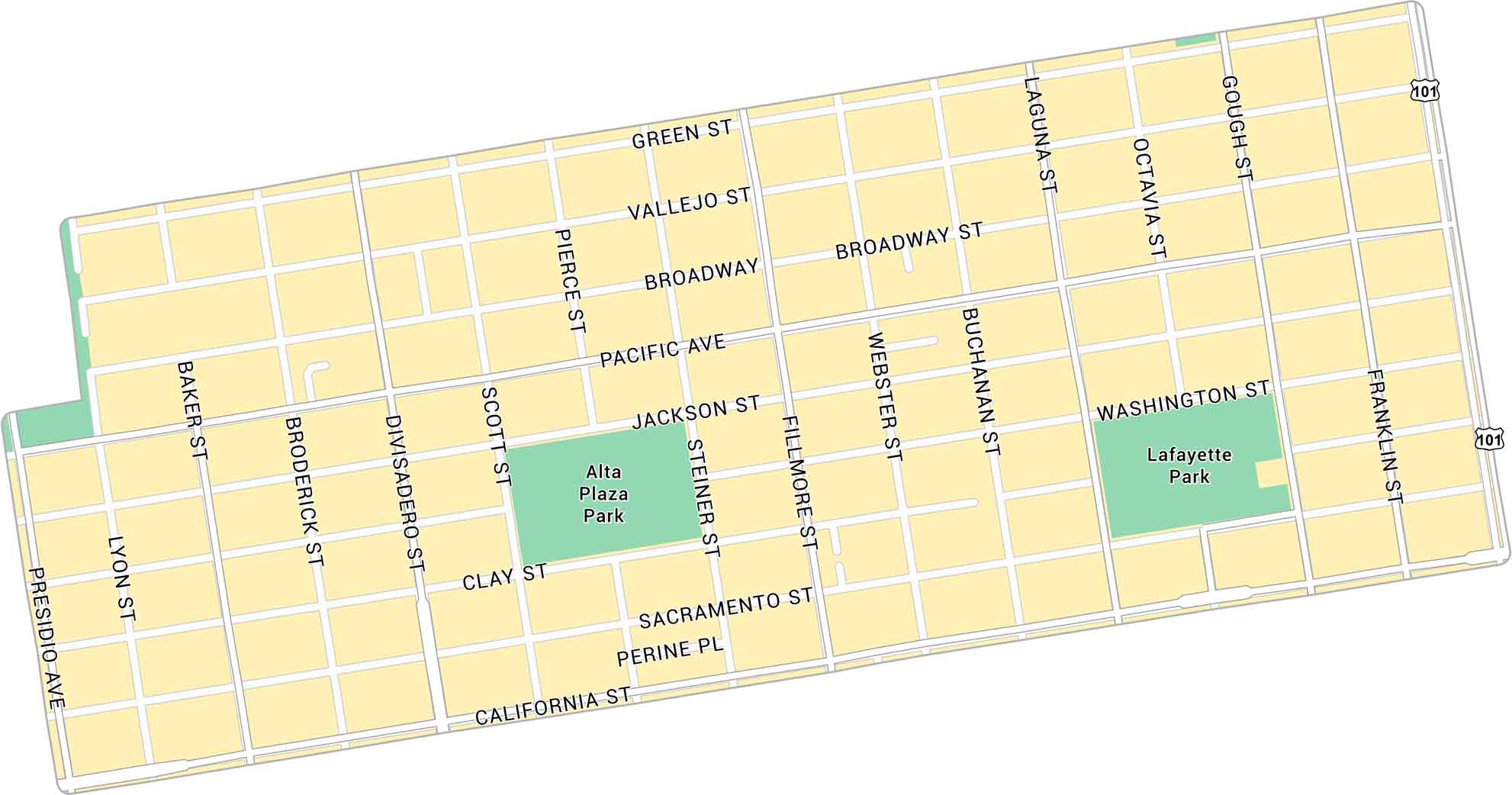
Our map of Pacific Heights shows the hilly neighborhood overlooking San Francisco Bay. It highlights main streets and parks. This neighborhood is a scenic area with easy access to the waterfront.
Map Information
On the Map
Interstates/Highways: US Hwy 101 Major Roads: California St, Broadway, Divisadero St, Fillmore St, Franklin St, Gough St, Presidio Ave, Pacific Ave, Sacramento St, Jackson St, Washington St, Clay St, Webster St, Buchanan St, Laguna St, Octavia St, Scott St, Pierce St, Steiner St, Baker St Parks: Lafayette Park, Alta Plaza ParkSan Francisco Neighborhood Maps
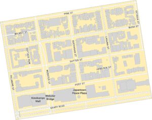
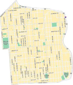
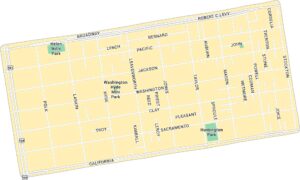
See our neighborhood maps for a closer look of the city.
California City Maps
Here are detailed maps of California


