Tenderloin Map, San Francisco
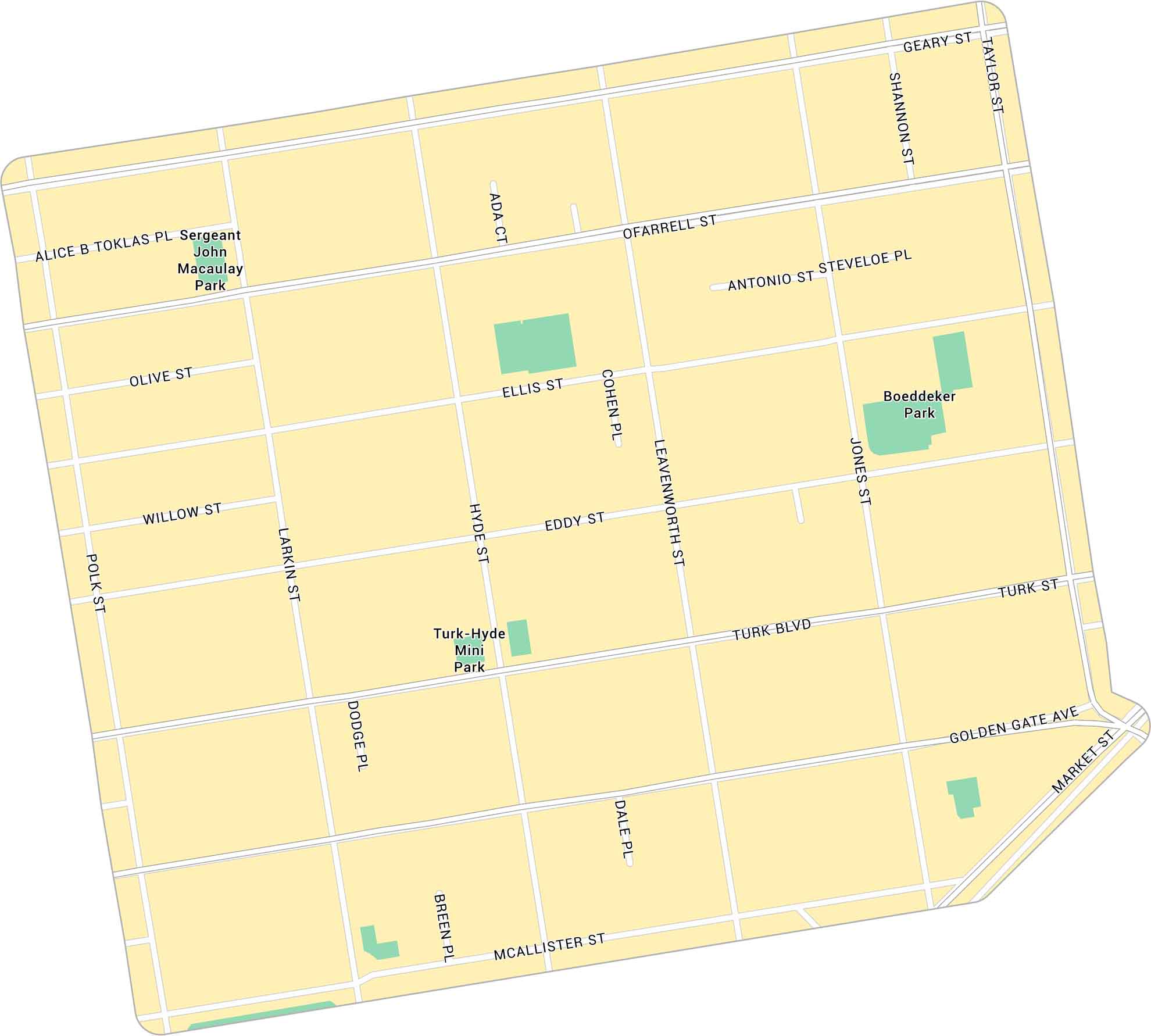
The Tenderloin is a gritty neighborhood near downtown San Francisco. Our map of Tenderloin highlights its streets and parks that surround the area.
Map Information
On the Map
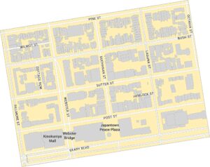
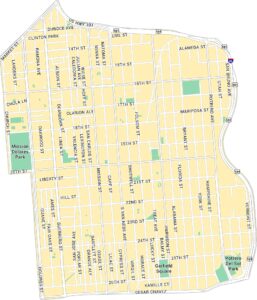
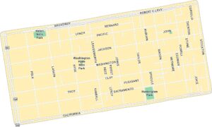
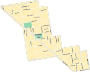
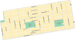
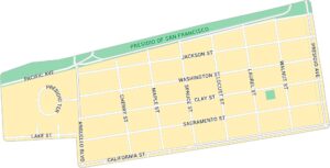
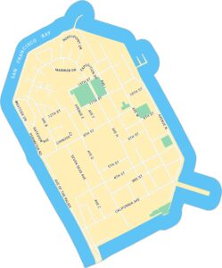
Major Roads: Market St, Golden Gate Ave, McAllister St, Turk Blvd, Turk St, Eddy St, Ellis St, O’Farrell St, Geary St, Polk St, Larkin St, Hyde St, Leavenworth St, Jones St, Taylor St, Shannon St, Dodge Pl, Dale Pl, Breen Pl, Cohen Pl Parks: Boeddeker Park, Sergeant John Macaulay Park, Turk-Hyde Mini ParkSan Francisco Neighborhood Maps
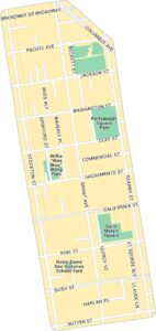
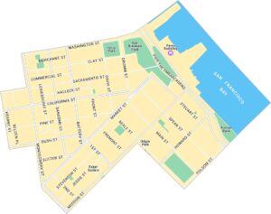
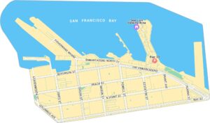
See our neighborhood maps for a closer look of the city.
California City Maps
Here are detailed maps of California


