Treasure Island Map, San Francisco
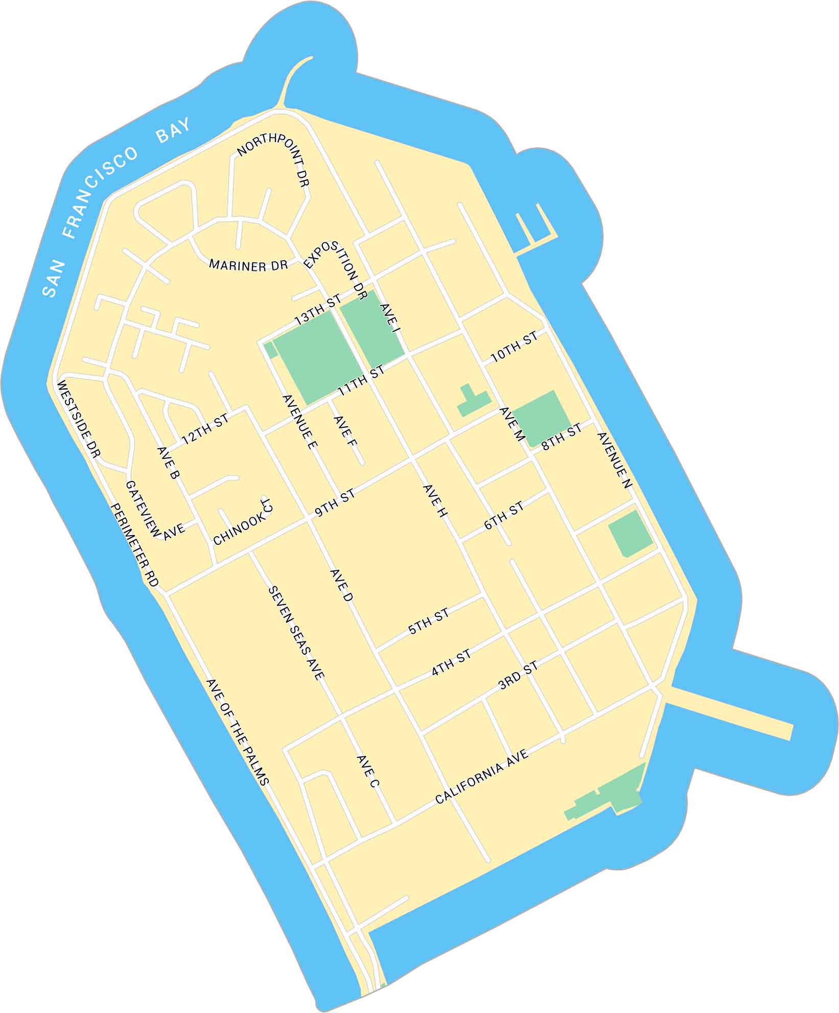
Treasure Island sits in the middle of San Francisco Bay. Our map shows this man-made island including its streets and surrounding parks.
Map Information
On the Map
Major Roads: Ave of the Palms, Seven Seas Ave, Perimeter Rd, Westside Dr, Gateway Ave, Northpoint Dr, Exposition Dr, Mariner Dr, California Ave, 13th St, 12th St, 11th St, 10th St, 9th St, 8th St, 6th St, 5th St, 4th St, 3rd St, Ave D Bays/Rivers: San Francisco BaySan Francisco Neighborhood Maps
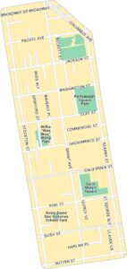
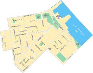
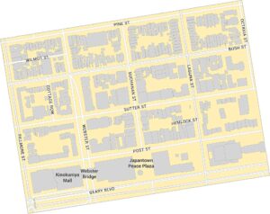
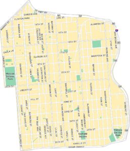
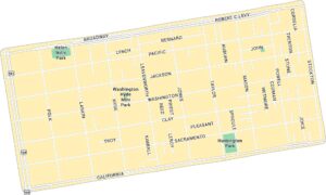
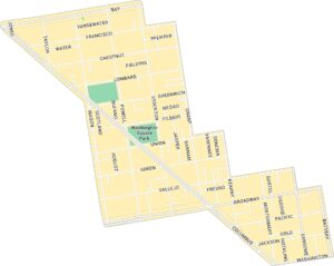
See our neighborhood maps for a closer look of the city.
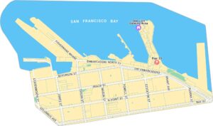
California City Maps
Here are detailed maps of California


