Wisconsin Precipitation Map
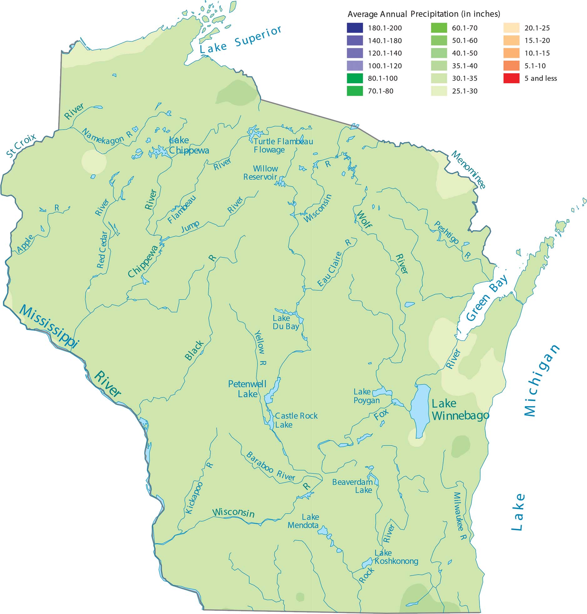
Wisconsin sees above average precipitation because of lake-effect moisture from Lake Superior and Lake Michigan. The interior areas stay moderately wet with some patch wetter region. See the change in precipitation on our map.
Map Information
State Precipitation Maps
Select any state map below to view its precipitation map.


Wisconsin State Maps
Discover maps of the Badger State.


