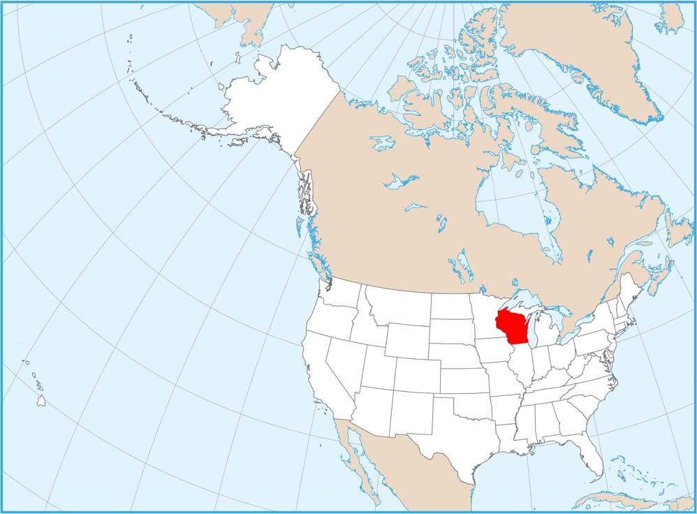
Wisconsin National Parks and Forests Map
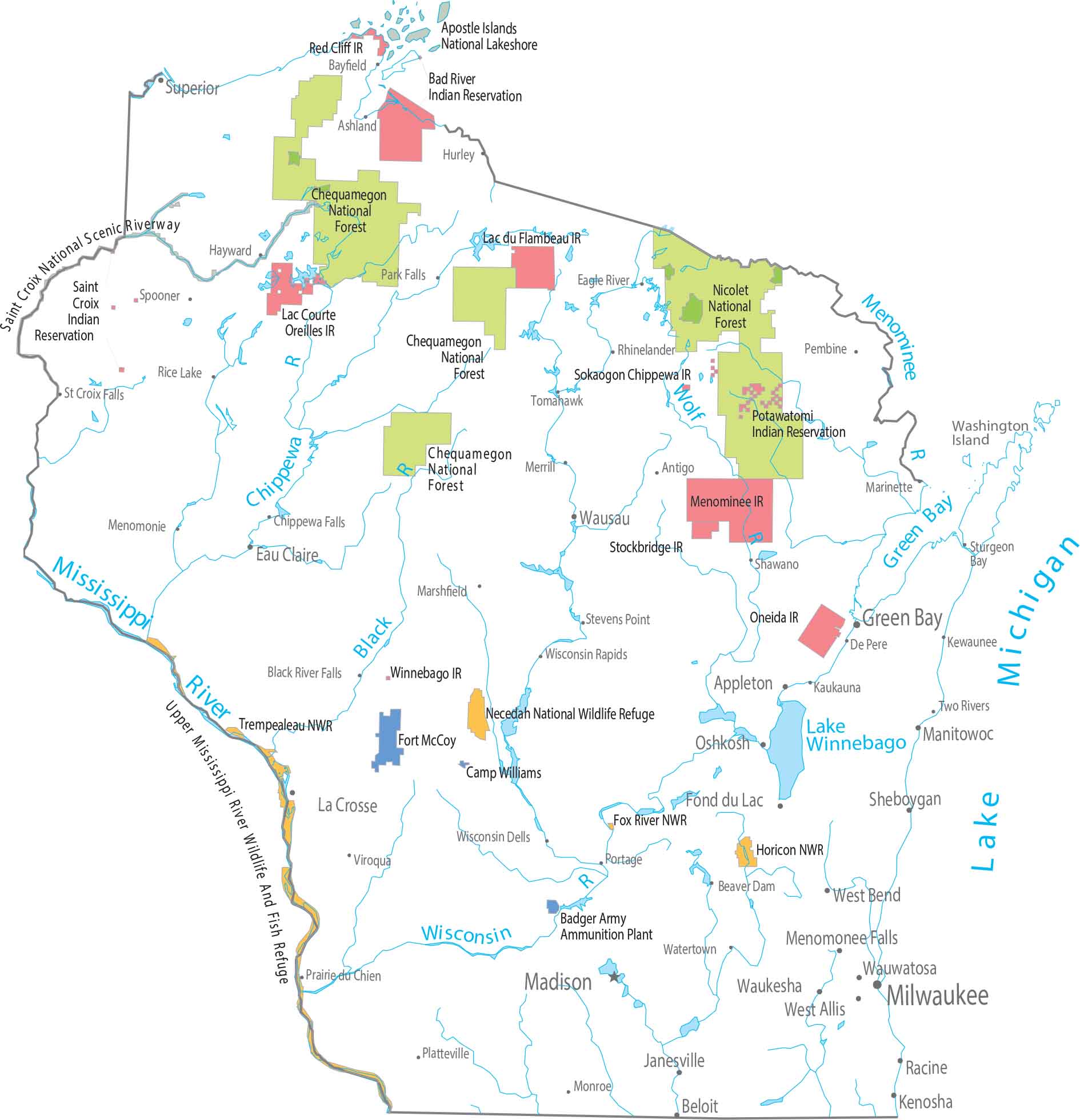
Our map highlights federal forest land in the north. Chequamegon–Nicolet National Forest covers large wooded areas near Lake Superior. Check out our map to also see the Apostle Islands National Lakeshore in Lake Superior.
Map Information
On the Map