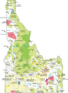
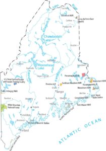
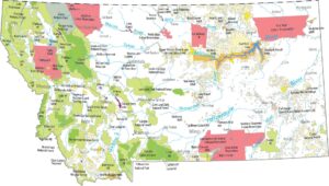
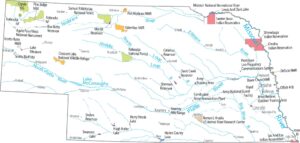
US National Forests Map
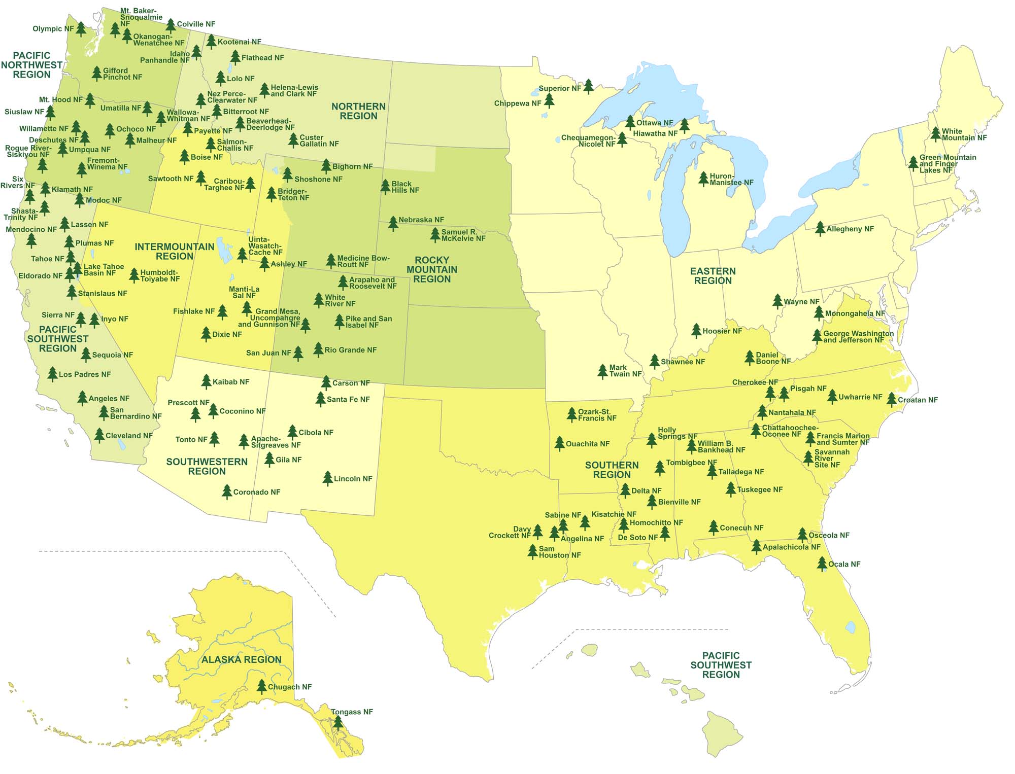
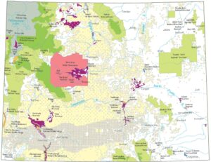
Our map shows where America’s national forests stretch across the country. It highlights forest regions, state boundaries and lakes. What stands out is how forests cluster in America, from rugged mountains to quiet wetlands as you move across the map.
Map Information
National Parks and Forest Maps
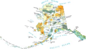
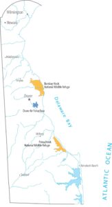
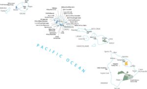
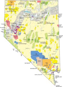
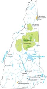
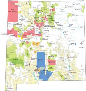
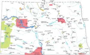
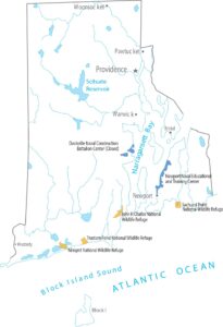
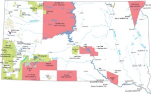
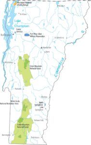
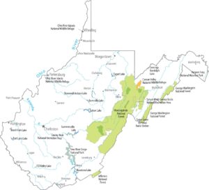
Select any state map below to view its national forest map.


Country Maps
Explore the geography that defines this nation.


