Meteor Crater Map
You’ve got to see it to believe it. Our map displays Meteor Crater Road off I-40 near Winslow. The visitor center is at the rim trail circle.
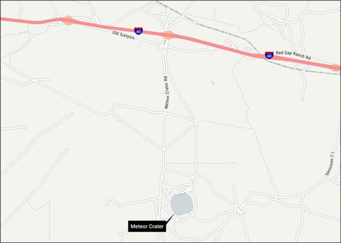
You’ve got to see it to believe it. Our map displays Meteor Crater Road off I-40 near Winslow. The visitor center is at the rim trail circle.
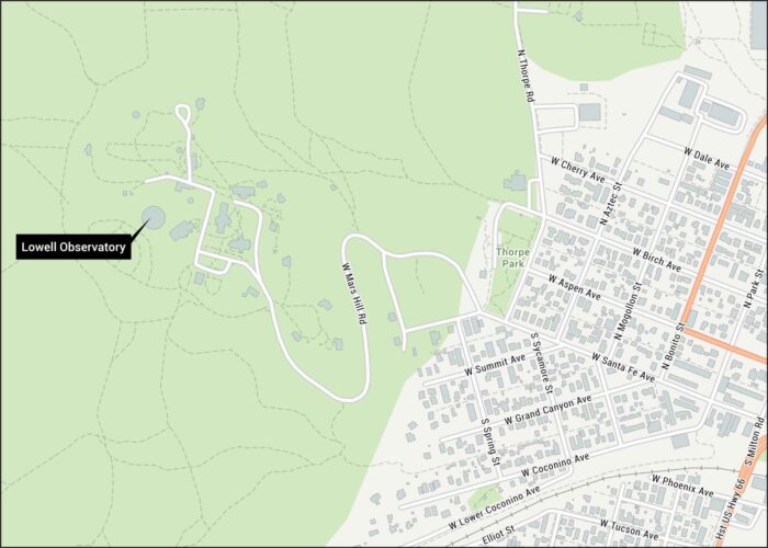
Flagstaff’s Mars Hill Road winds up to this discovery site of Pluto. Our map shows West Route 66 and nearby roads to the Lowell Observatory.
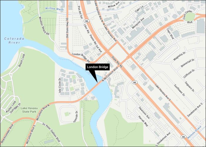
Our London Bridge map shows the bridge spanning Lake Havasu’s Bridgewater Channel. See McCulloch Boulevard and surrounding streets.
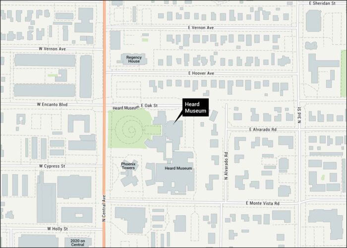
Check out our map of Heard Museum, located on Central Avenue. We’ve mapped the surrounding area with all the major streets.
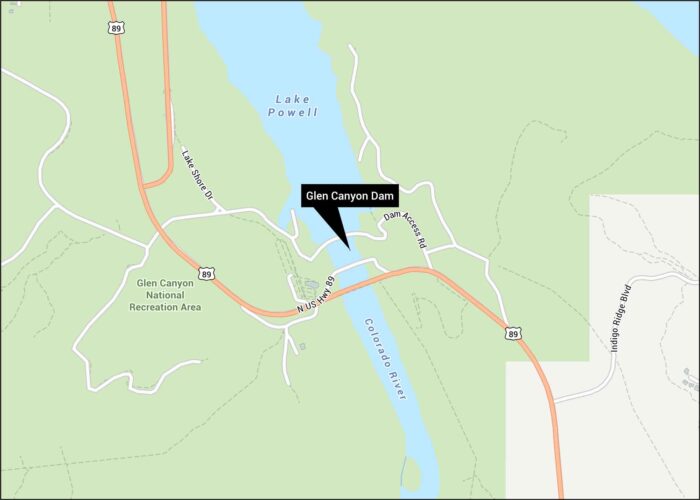
Our Glen Canyon Dam map displays Highway 89 and the bridge crossing. See Lake Powell shoreline and various trails in the whereabouts.

Our map shows where Arizona, Utah, Colorado, and New Mexico meet. You’ll see Highway 160 and trails leading to Four Corners Monument.
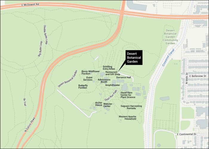
Our Desert Botanical Garden map shows trails and entrances off Galvin Parkway. See the community garden and nearby roads.
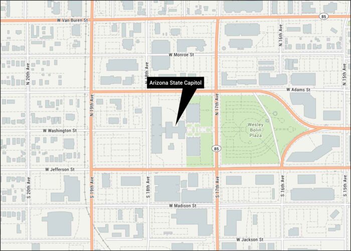
Here’s our map of the capitol at 1700 West Washington Street. Our road map shows its location in the Salt River Valley.
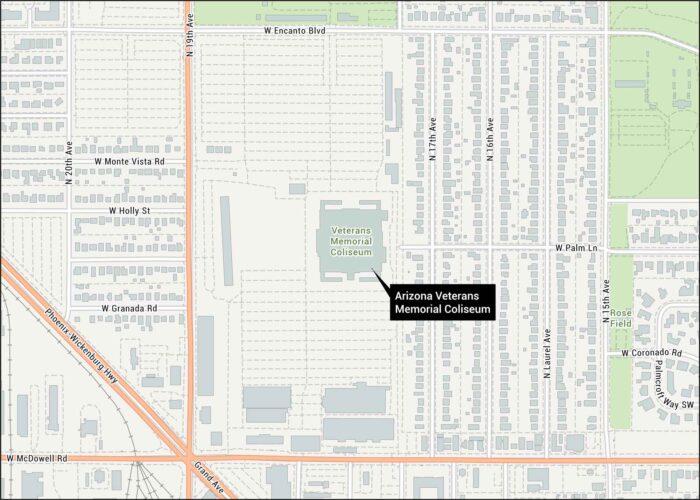
Our map highlights the Arizona Memorial Coliseum near 19th Avenue. You can find this arena standing in the heart of downtown Phoenix.

Take a peek at our map showing Arizona Biltmore Resort off 24th Street. This Phoenix resort sits at the base of Squaw Peak.
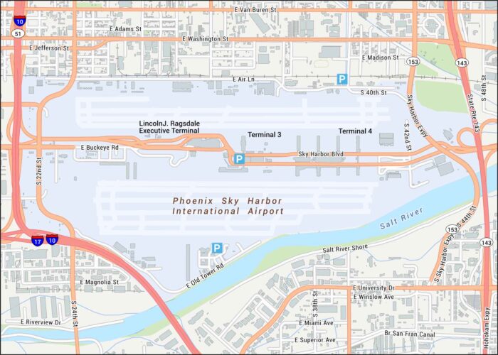
Familiarize yourself with Phoenix Sky Harbor using our map with terminals and runways. We’ve also marked down 44th Street, I-10 and highways.
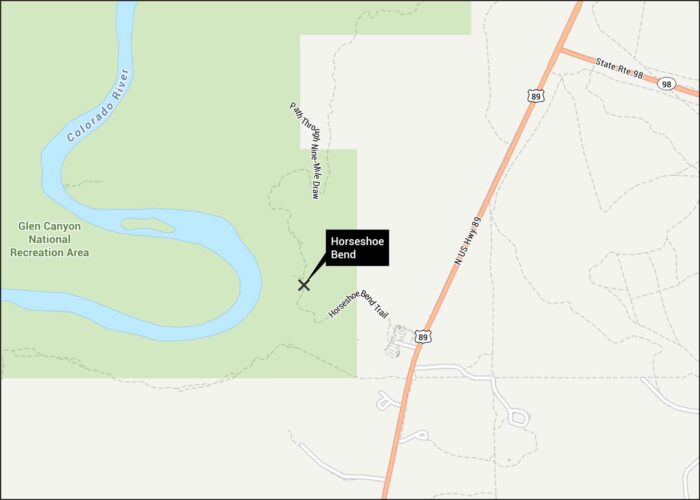
Horseshoe Bend often amazes every visitor. Located in Arizona, the Colorado River curves dramatically. Our map shows the trails and roads.
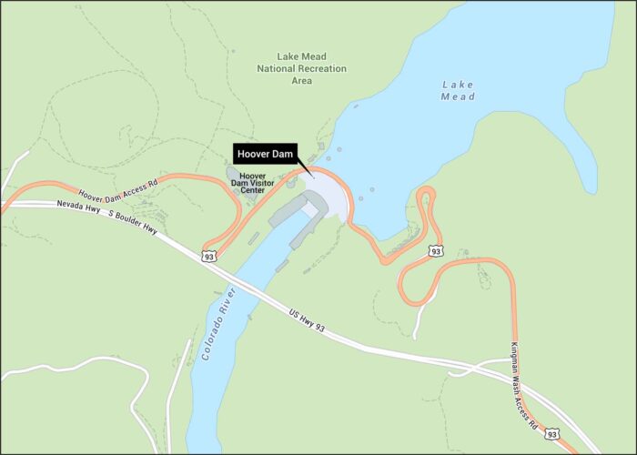
Explore the Hoover Dam with our detailed map. Located along the Colorado River, it straddles along the Nevada and Arizona border.
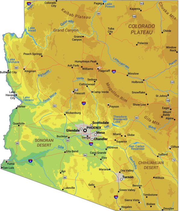
Our Arizona physical map captures the extremes. It includes everything from the Grand Canyon to the Sonoran Desert and the Colorado Plateau.
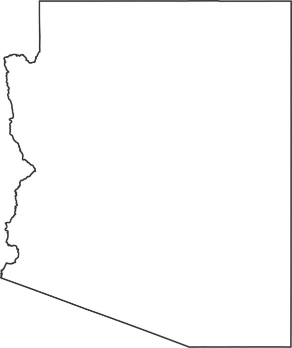
Most borders in our Arizona outline map are straight line drawn by surveyors. The western edge follows the Colorado River.