Desert Botanical Garden Map
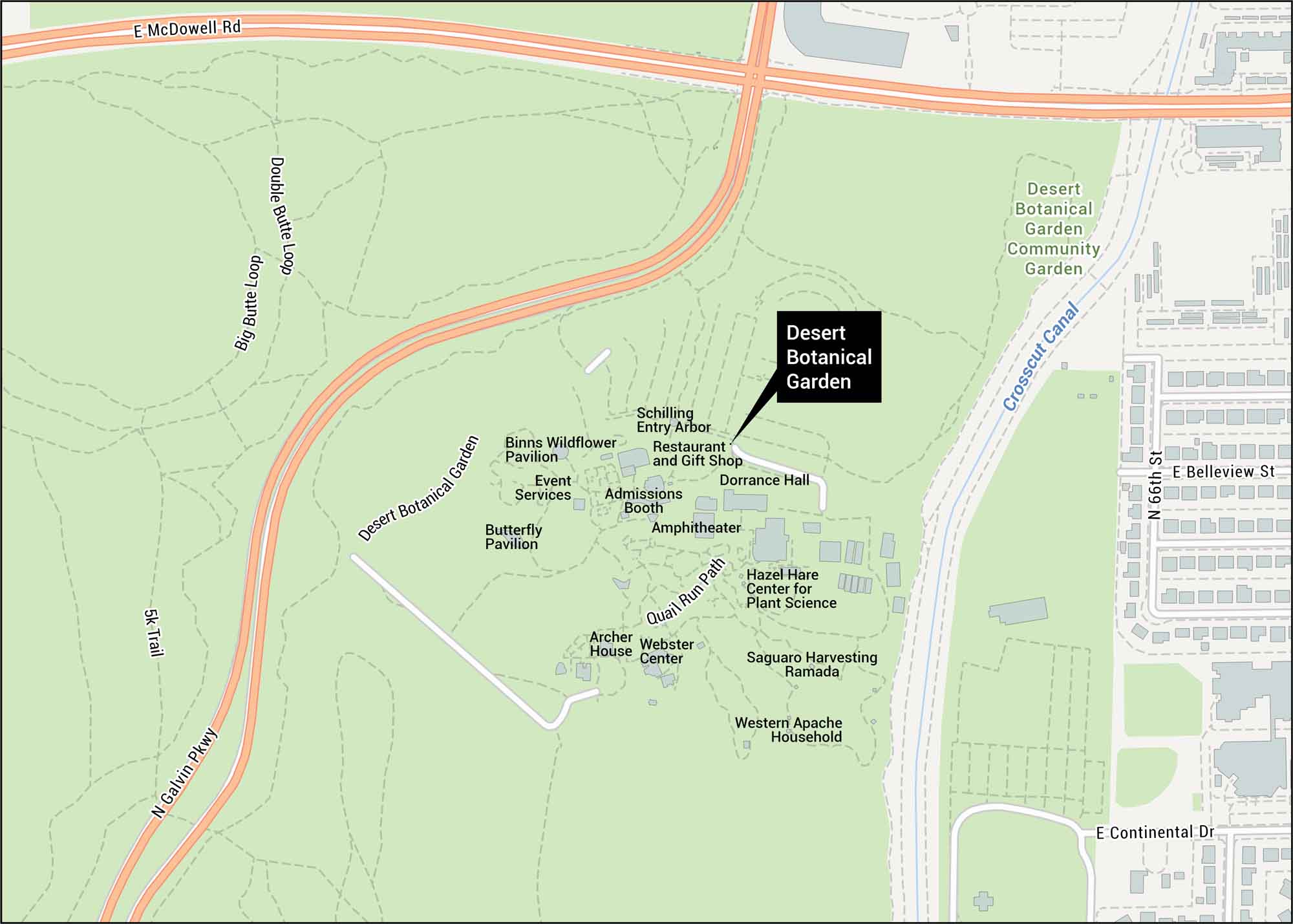
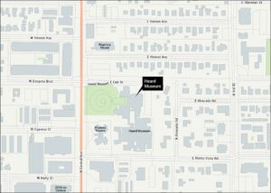
Our Desert Botanical Garden map shows trails and entrances off Galvin Parkway. See the community garden and nearby roads. This surprising collection of desert plants thrives in eastern Phoenix.
Map Information
On the Map
Major Roads: Galvin Pkwy, McDowell Rd, 66th St, Belleview St, Continental Dr Canals: Crosscut Canal Other Landmarks: Binns Wildflower Pavilion, Butterfly Pavilion, Admissions Booth, Amphitheater, Webster Center, Archer House, Hazel Hare Center for Plant Science, Saguaro Harvesting Ramada, Western Apache Household, Dorrance Hall, Restaurant and Gift Shop, Schilling Entry Arbor, Desert Botanical Garden Community GardenTourist Maps in Arizona
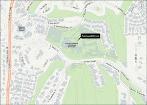
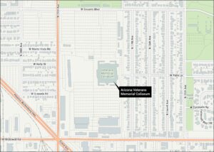
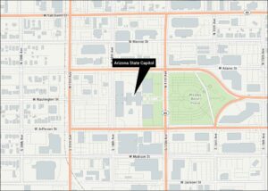
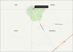
Discover all the prime locations with our tourist maps.