Arizona State Capitol Map
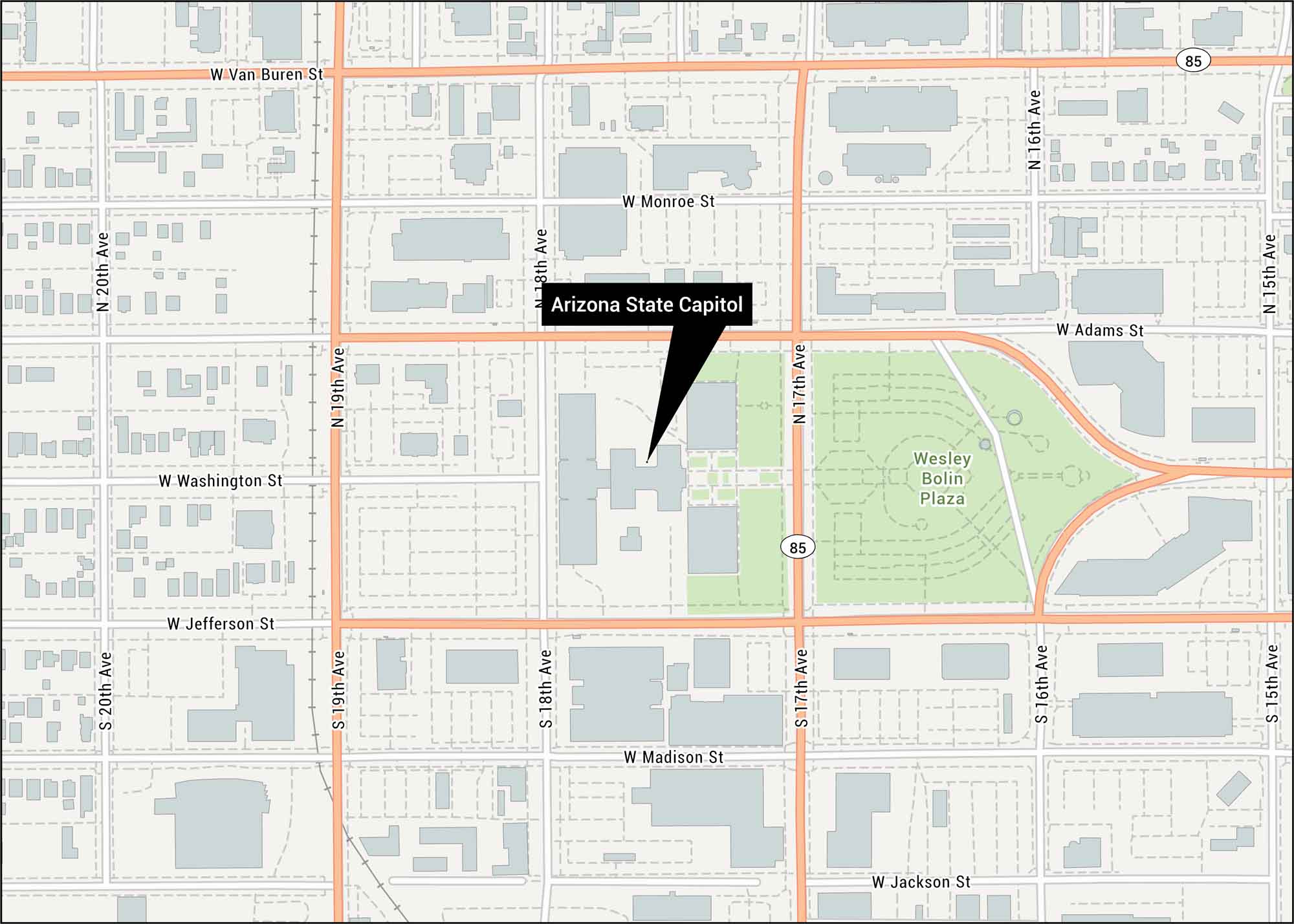
Here’s our map of the capitol at 1700 West Washington Street. Our road map shows its location in the Salt River Valley.
Map Information
On the Map
Highways: 85, US Hwy 85 Major Roads: Washington St, Jefferson St, Van Buren St, Madison St, Jackson St, 19th Ave, 17th Ave, 18th Ave, 20th Ave, Adams St, Monroe St, 16th Ave, 15th Ave Parks/Forests: Wesley Bolin PlazaTourist Maps in Arizona
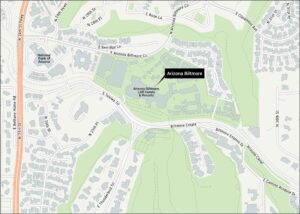
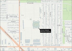
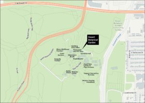
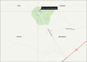
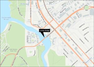
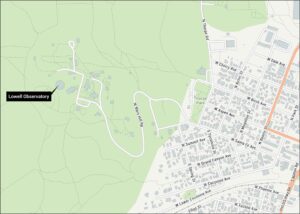
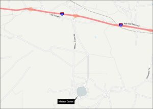
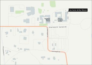
Discover all the prime locations with our tourist maps.