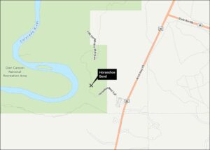
Glen Canyon Dam Map
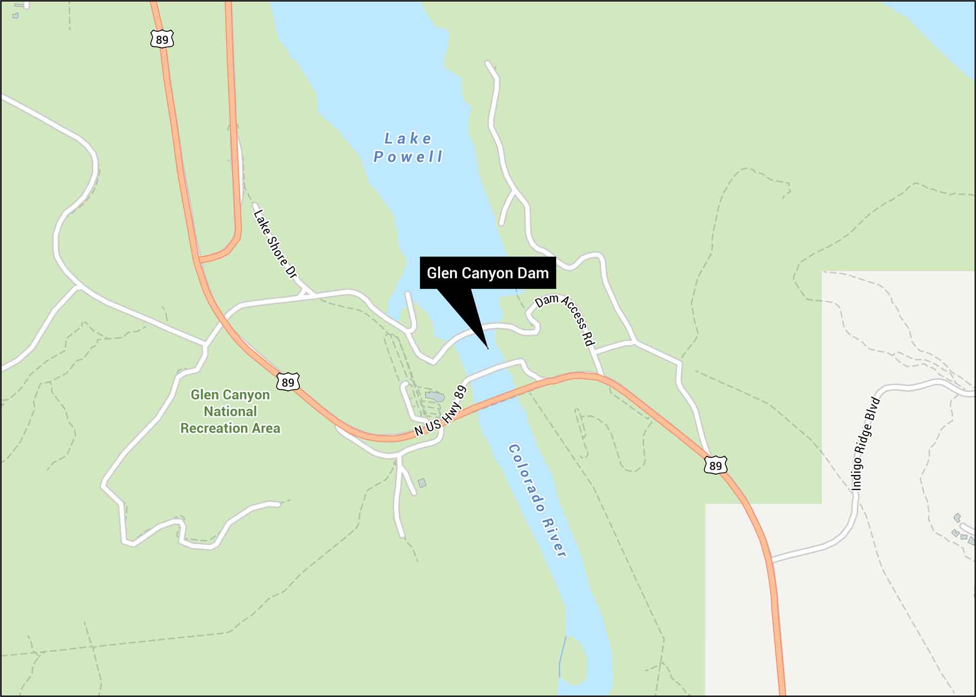
Our Glen Canyon Dam map displays Highway 89 and the bridge crossing. See Lake Powell shoreline and various trails in the whereabouts. This massive structure holds back the surging Colorado River in northern Arizona.
Map Information
On the Map
Highways: US Hwy 89 Major Roads: Lake Shore Dr, Dam Access Rd, Indigo Ridge Blvd Rivers/Lakes: Lake Powell, Colorado River Recreational Areas: Glen Canyon National Recreation AreaTourist Maps in Arizona
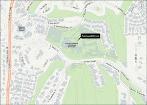
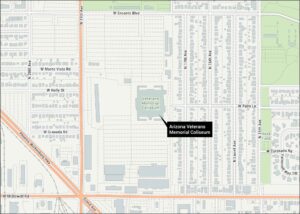
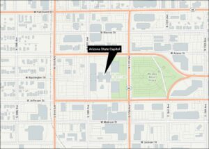
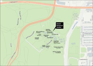
Discover all the prime locations with our tourist maps.