Nebraska Precipitation Map
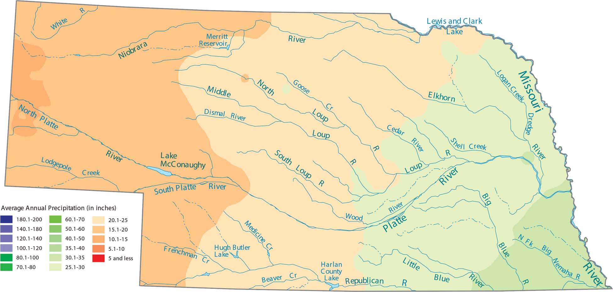
See Nebraska’s gradual climb in elevation as you head west toward the Rockies, which creates steadily drier conditions. The eastern part near the Missouri River stays wetter. Our precipitation map of Nebraska shows that the eastern border is the wettest area.
Map Information
State Precipitation Maps
Select any state map below to view its precipitation map.


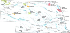
Nebraska State Maps
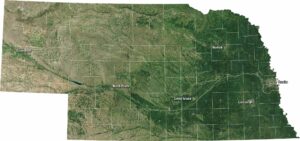
Examine maps showing prairies and cities in Nebraska.