Missouri Precipitation Map
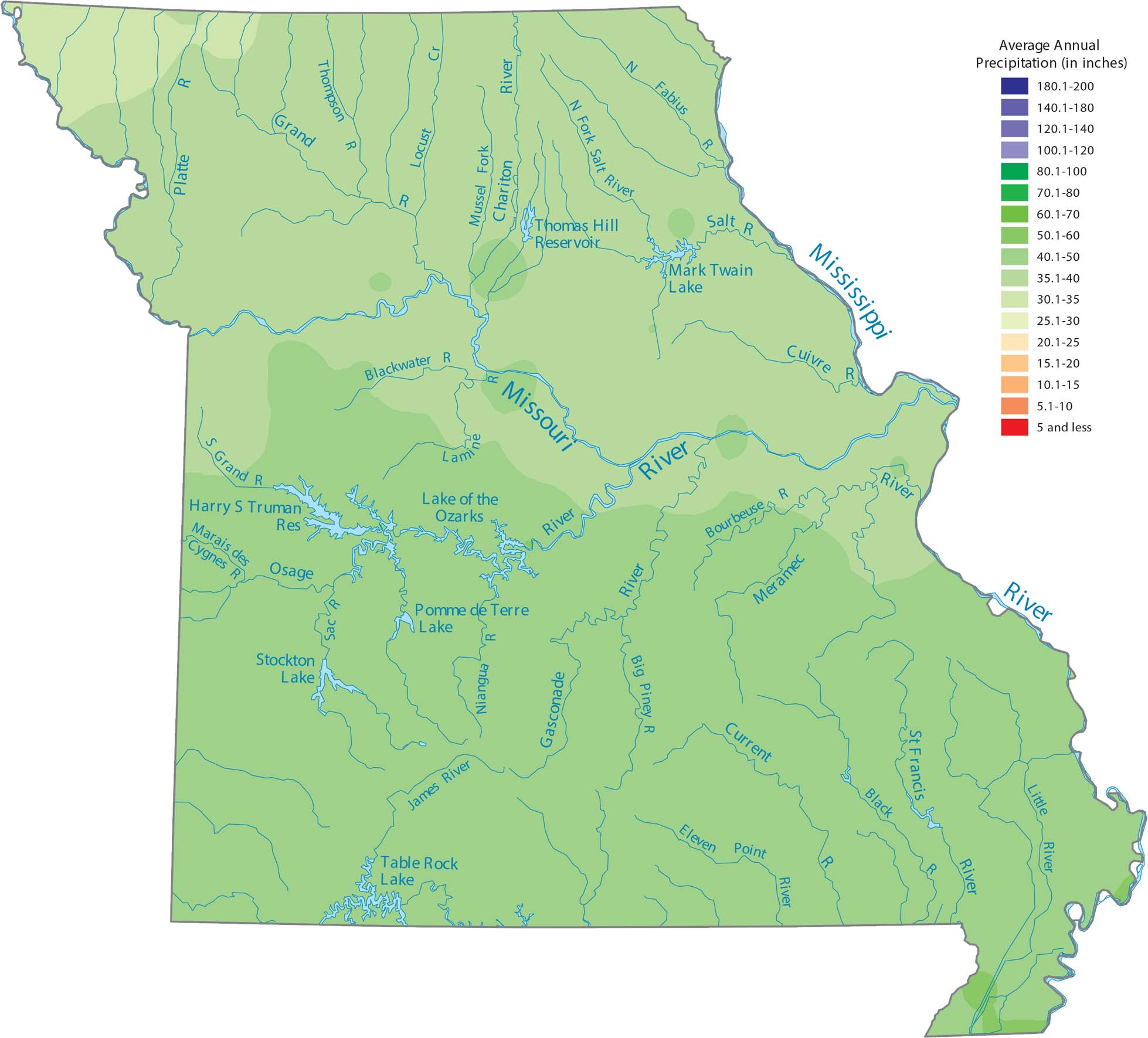
Missouri sees the most rain in the southeastern lowlands where the Mississippi River flows. The Ozark Plateau in the south-central area creates some local pockets of heavier rainfall too. Our precipitation map of Missouri reflects this contrast.
Map Information
State Precipitation Maps
Select any state map below to view its precipitation map.


Missouri State Maps
Check out state maps of the Show-Me State.


