Delaware Physical Map
Delaware is flat. The state sits on the Atlantic Coastal Plain with barely any elevation. It’s mostly marshes, wetlands, and tidal zones.

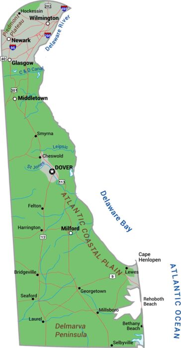
Delaware is flat. The state sits on the Atlantic Coastal Plain with barely any elevation. It’s mostly marshes, wetlands, and tidal zones.
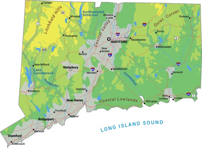
Connecticut doesn’t do drama. It’s mostly gentle hills, river valleys, and a smooth coastline here. The Litchfield Hills has modest elevation.
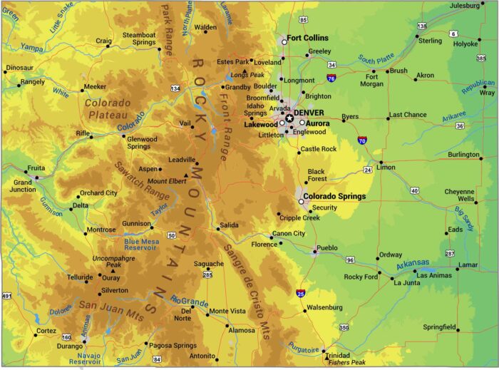
Here’s our physical map of Colorado. The Rockies dominate, running north to south through the center with over 50 summits above 14,000 feet.
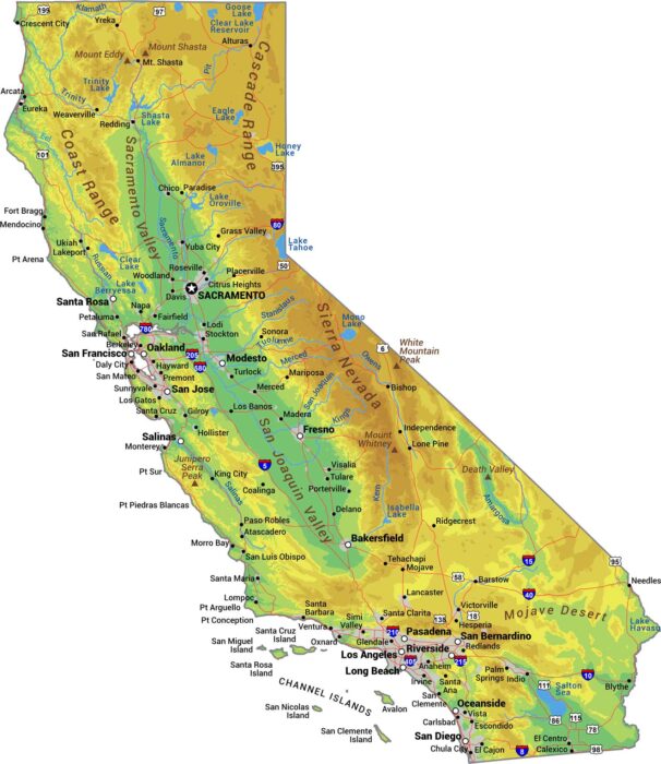
No state packs more variety than California. The Sierra Nevada mountains wall off the east while the coastal ranges hug the Pacific Ocean.
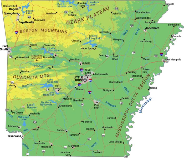
Our Arkansas physical map displays its shift from mountains to delta. The Ozark Plateau and Ouachita Mountains hold the north and west.
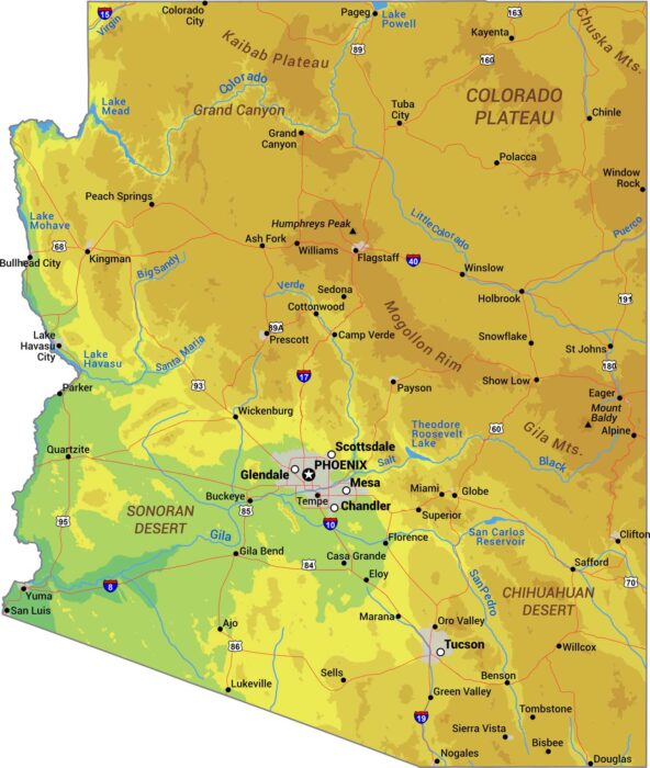
Our Arizona physical map captures the extremes. It includes everything from the Grand Canyon to the Sonoran Desert and the Colorado Plateau.
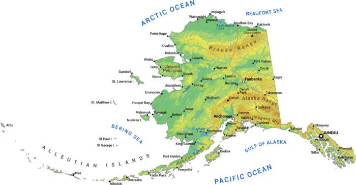
Alaska is massive and wild. We’ve mapped the mountains, rivers, and brutal terrain that makes this the last frontier.
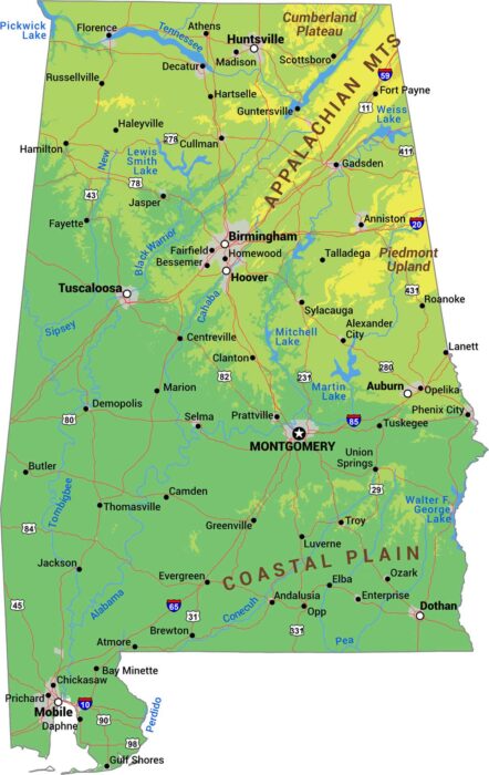
Our physical map of Alabama shows its distinct regions from north to south – Appalachian Mountains, Piedmont Plateau and the Coastal Plain.
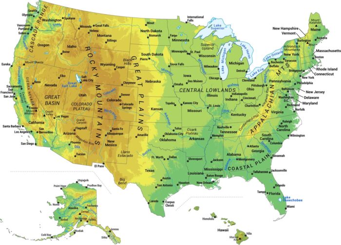
Our map shows the major physical features of the United States. We built this map to show you the geography that makes America what it is.
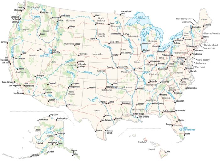
Our US map packs in everything. All 50 states, major cities, rivers, lakes, and coastlines. Interstate highways connect cities across the USA.

Our Wyoming outline maps displays this almost perfect rectangle. Every border is a straight line without any river or terrain borders.
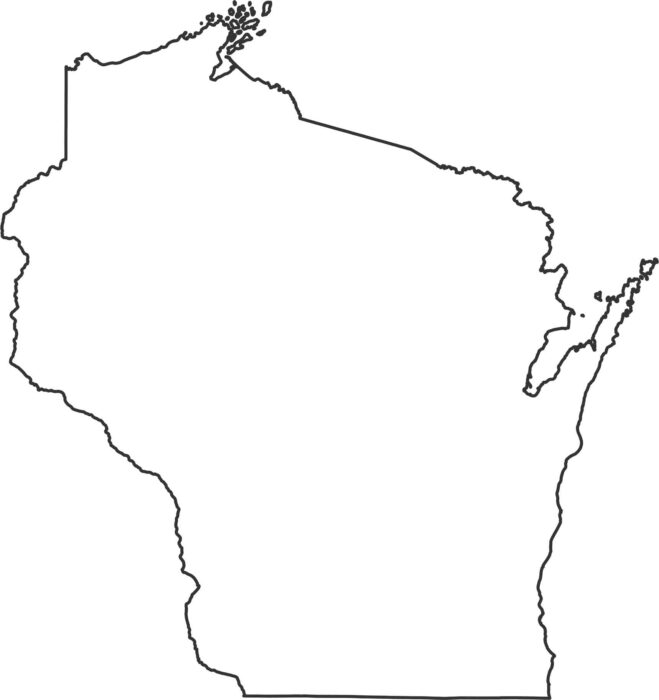
Our outline map of Wisconsin shows how water defines its borders. Much of its outline is shaped strongly by the Great Lakes and rivers.
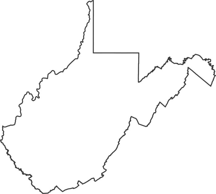
West Virginia’s outline twists around mountain ridges and river valleys. The borders bend in many directions due to the terrain.
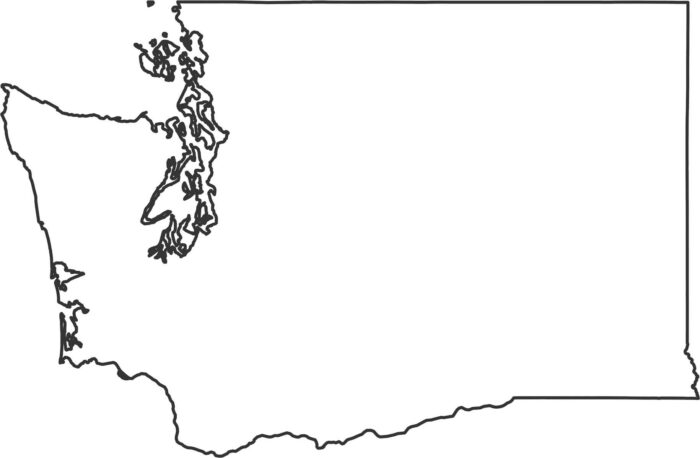
Washington’s coast is full of deep bays and island groups. Inland, the borders straighten out with more surveyed boundaries.
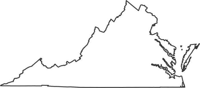
Our Virginia outline map shows the Chesapeake Bay and Atlantic Ocean on the eastern edge. The Potomac River creates much of the north edge.