Minnesota Physical Map
From the Sawtooth Mountains to the Red River Valley, this is our physical map of Minnesota. Over 10,000 lakes cluster in the north.

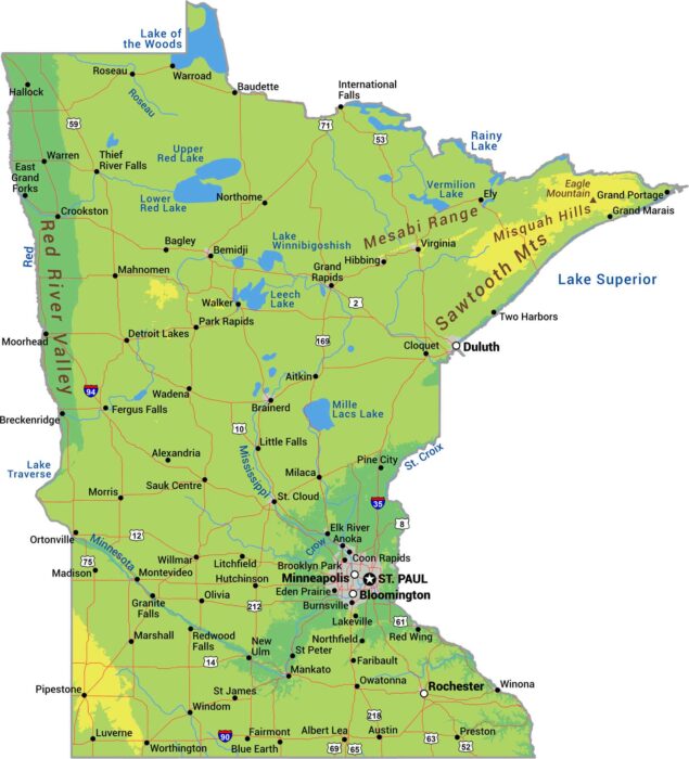
From the Sawtooth Mountains to the Red River Valley, this is our physical map of Minnesota. Over 10,000 lakes cluster in the north.
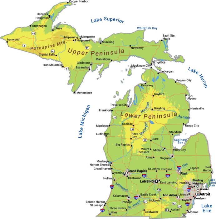
Michigan is two peninsulas surrounded by Great Lakes. The Upper Peninsula is rugged. But the Lower Peninsula is flatter with rolling hills.
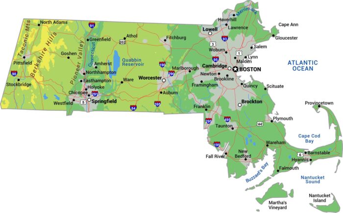
Get to know Massachusetts with our physical map. The Berkshire Hills bring real elevation to the west with the Taconic Range.
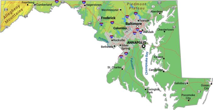
Our physical map of Maryland shows a state squeezed between mountains and coast with the Appalachians and the Chesapeake Bay.
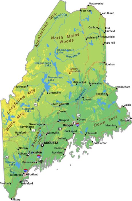
Our physical map of Maine shows where New England gets serious. The Appalachian Mountains roll through the interior with Mount Katahdin.
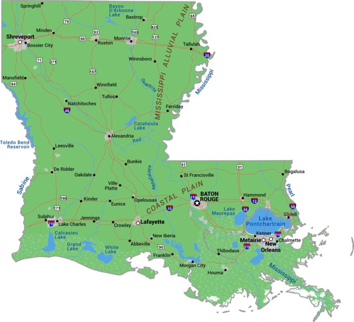
Louisiana is what the Mississippi River built. Our physical map of Louisiana shows delta, swamp, and marshland spreading into the Gulf Coast.

It’s about contrast here in Kentucky. Eastern Kentucky brings the Cumberland Mountains, while western Kentucky flattens into river lowlands.
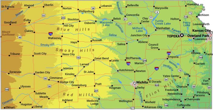
No matter what you’ve heard, Kansas isn’t completely flat. It really just slopes. The land rises gradually from east to west.
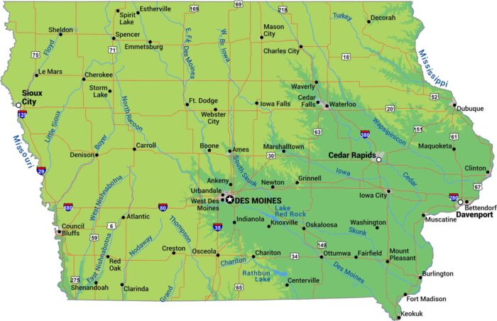
Let’s be honest. Iowa is flat farmland from border to border. It’s sandwiched by the Mississippi on the east and the Missouri on the west.
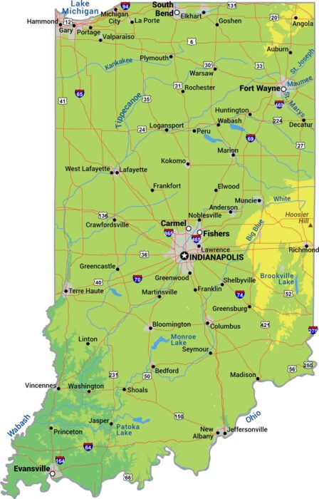
Try finding a mountain in Indiana. This state is has some rolling hills but it’s mostly flat. Our physical map of Indiana shows flat farmland.
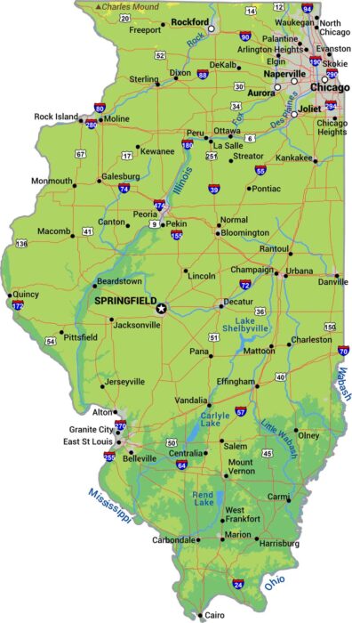
Illinois sits almost entirely on prairie plains. The Mississippi River forms the western border while smaller rivers cut across to farmland.

There’s more to Idaho than potatoes. It’s one of the most mountainous states in the country with the Rockies and the Bitterroot Range.
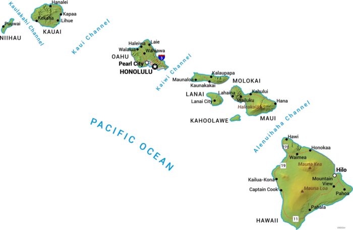
Our physical map of Hawaii shows these Pacific islands all built from volcanoes. Mauna Kea and Mauna Loa dominate the Big Island.
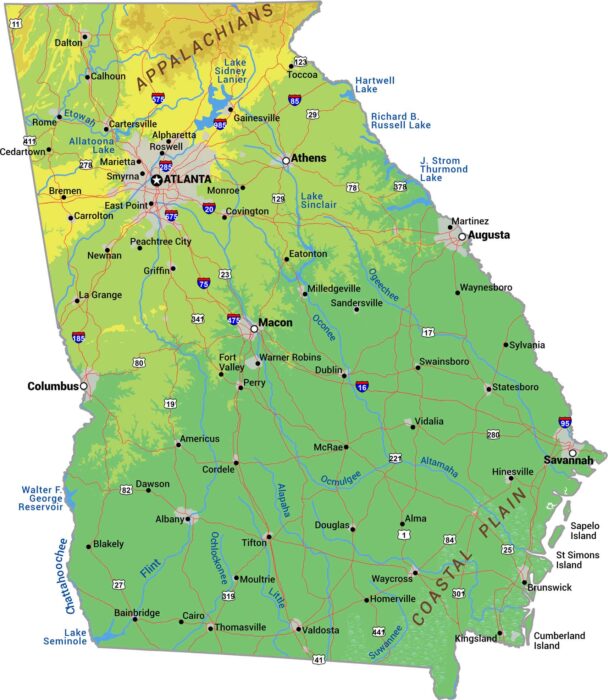
Georgia climbs from coast to mountains. The Appalachians rise in the north. The middle is Piedmont and the southern third is Coastal Plain.
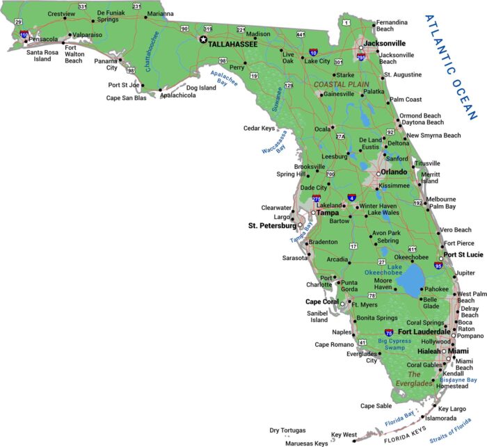
Our Florida physical map shows a state that’s basically flat. Swamps and wetlands fill the interior while beaches wrap its coastline.