Vermont Outline Map
Vermont narrows in the south and widens in the north. Its western border follows Lake Champlain while the east follows the Connecticut River.

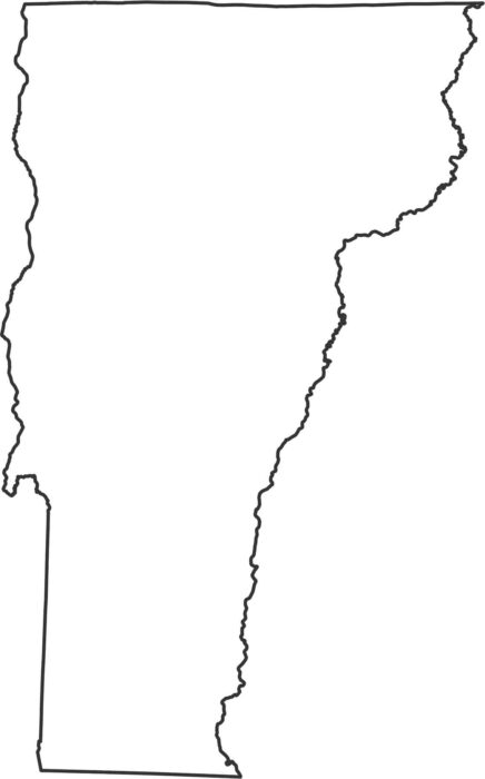
Vermont narrows in the south and widens in the north. Its western border follows Lake Champlain while the east follows the Connecticut River.
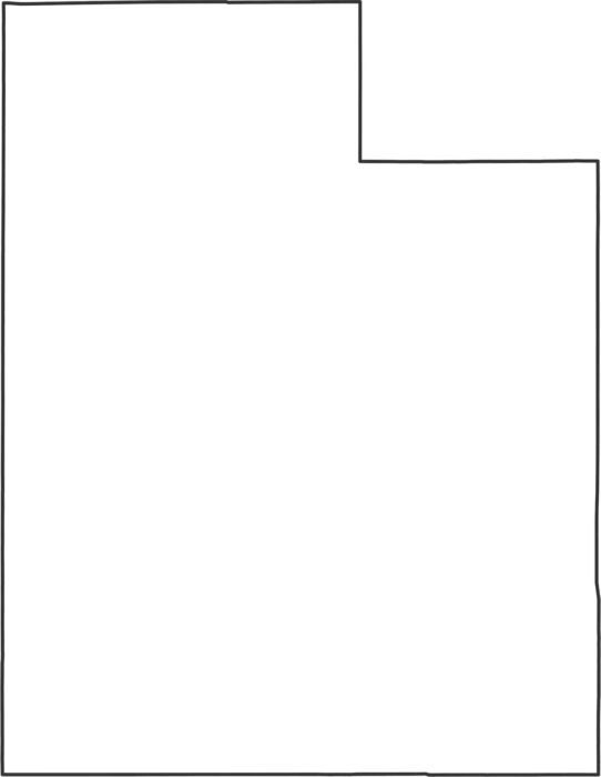
Check out how every single border in Utah is a straight line. The state forms a near-perfect rectangle with corners at right angles.
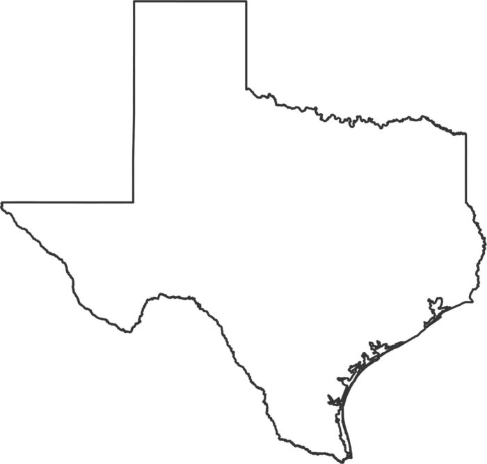
Texas has sharp angles, long borders, and a wide curve along the Gulf Coast. The outline is large and very recognizable for US states.
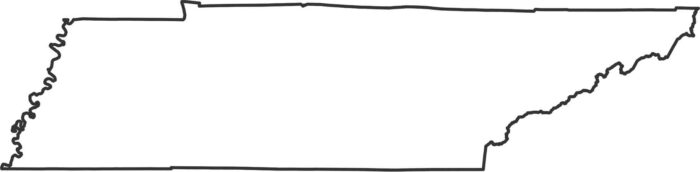
Our outline map of Tennessee shows its long and narrow shape across the bottom of the Appalachian region. The other borders angle slightly.
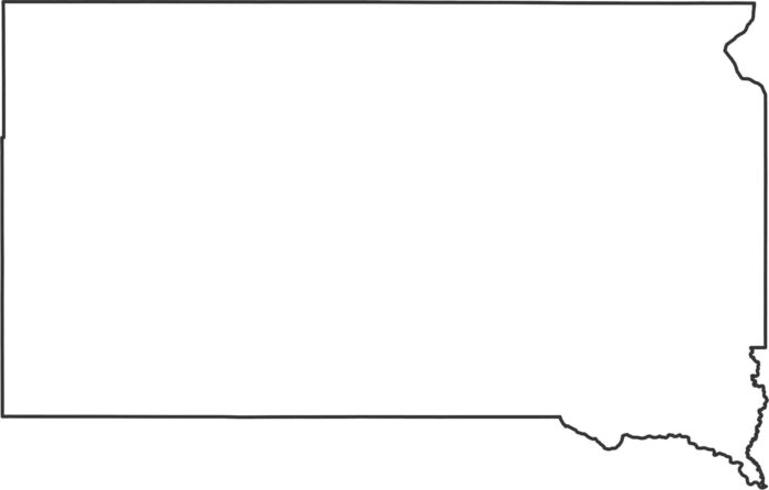
South Dakota forms a blocky shape with a few river curves on the east. The rest stays straight and simple in our outline map of South Dakota.

South Carolina leans toward the Atlantic with a curved eastern side. Use our outline map of South Carolina to familiarize yourself.
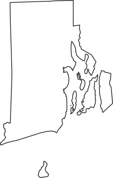
Our Rhode Island outline map shows the detailed Atlantic coastline that is full of coves and islands, and narrow inlets.
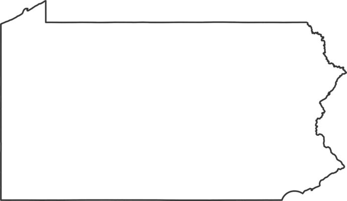
Pennsylvania has a nearly rectangular outline. The state stretches from the mountains to the Delaware River along the eastern edge.
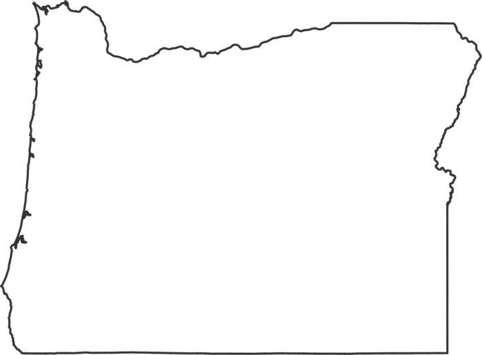
Oregon’s outline combines a Pacific coastline with angled inland borders. The western side follows bays, while the east is mostly straight.
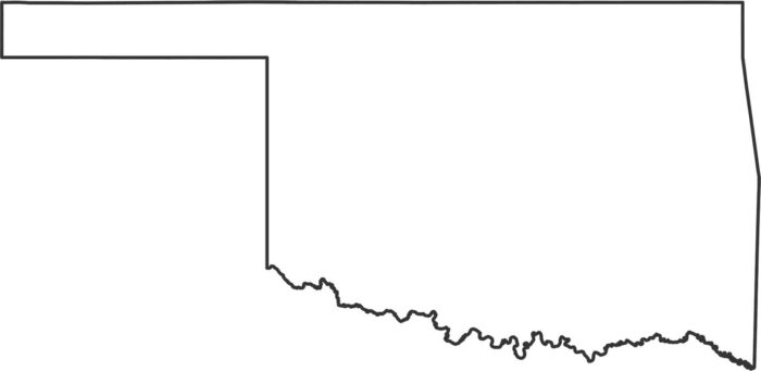
Oklahoma is known for its long panhandle stretching west. Most borders in Oklahoma shift between straight lines and river bends.
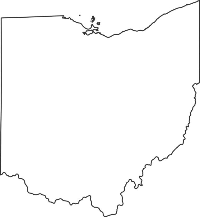
Ohio curves along Lake Erie at the top and straightens out toward the south. The southern and eastern borders follow the Ohio River.
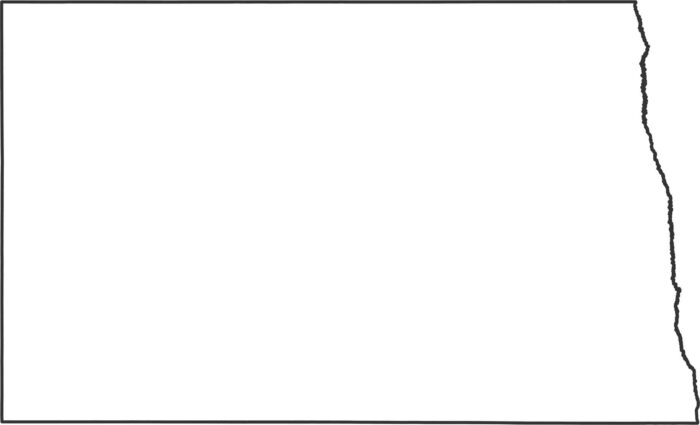
North Dakota forms a clean rectangle with just a gentle curve on the eastern river border, which is from the Red River.
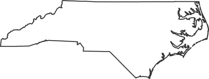
Our outline map of North Carolina shows it spread out toward the Atlantic with a long shape. The western side climbs into the Blue Ridge.
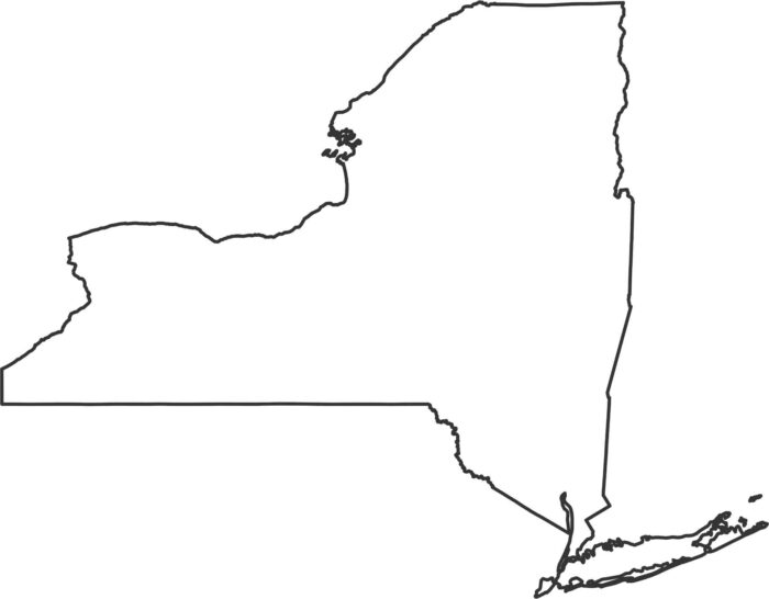
New York stretches from the Great Lakes all the way to the Atlantic. Our New York outline map highlights its borders showing the state shape.
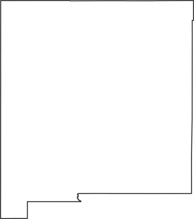
New Mexico forms a mostly rectangular shape with only slight border shifts. Our outline map of New Mexico displays this rectangular state.