Louisiana Precipitation Map
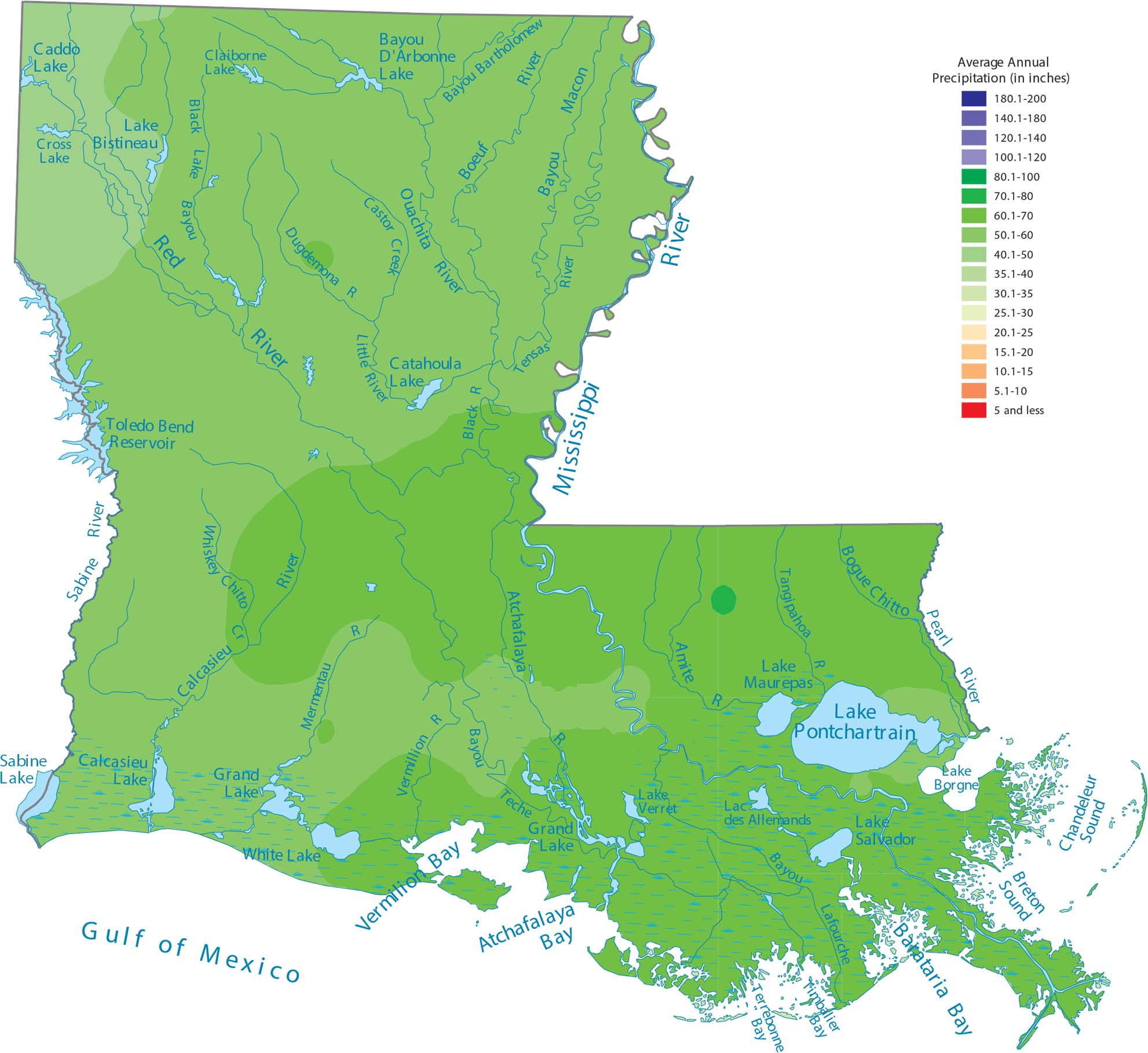
Our precipitation map of Louisiana shows its position on the Gulf Coast. This explains why it’s one of the wettest states as it’s basically surrounded by water. You’ll see the Gulf, the Mississippi River, and countless bayous on our map. This means moisture is everywhere.
Map Information
State Precipitation Maps
Select any state map below to view its precipitation map.


Louisiana State Maps
Here are maps showcasing the state of Louisiana


