Kentucky Precipitation Map
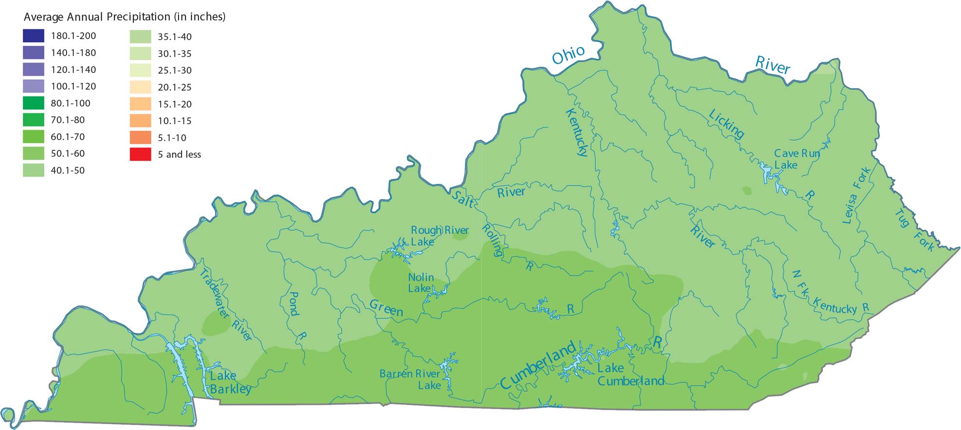
Our precipitation map of Kentucky shows the southern region getting the most rain. Sitting between the Gulf and the Appalachians means moisture comes from multiple directions. But overall, it doesn’t have as much variation compared to other states.
Map Information
State Precipitation Maps
Select any state map below to view its precipitation map.


Kentucky State Maps
Our Kentucky maps reveal the Bluegrass State


