Idaho Precipitation Map
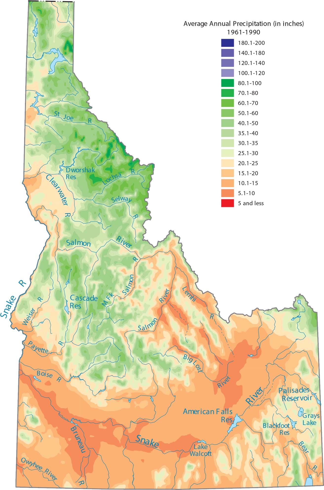
Check out Idaho’s split between the wet northern panhandle and the dry southern plains. The Rocky Mountains create a massive barrier that blocks Pacific moisture. Our precipitation map of Idaho reflects that strong terrain control.
Map Information
State Precipitation Maps
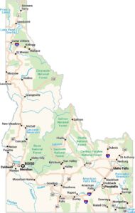
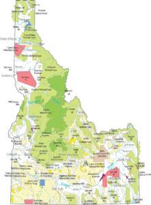
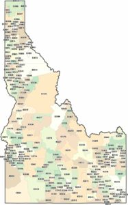
Select any state map below to view its precipitation map.