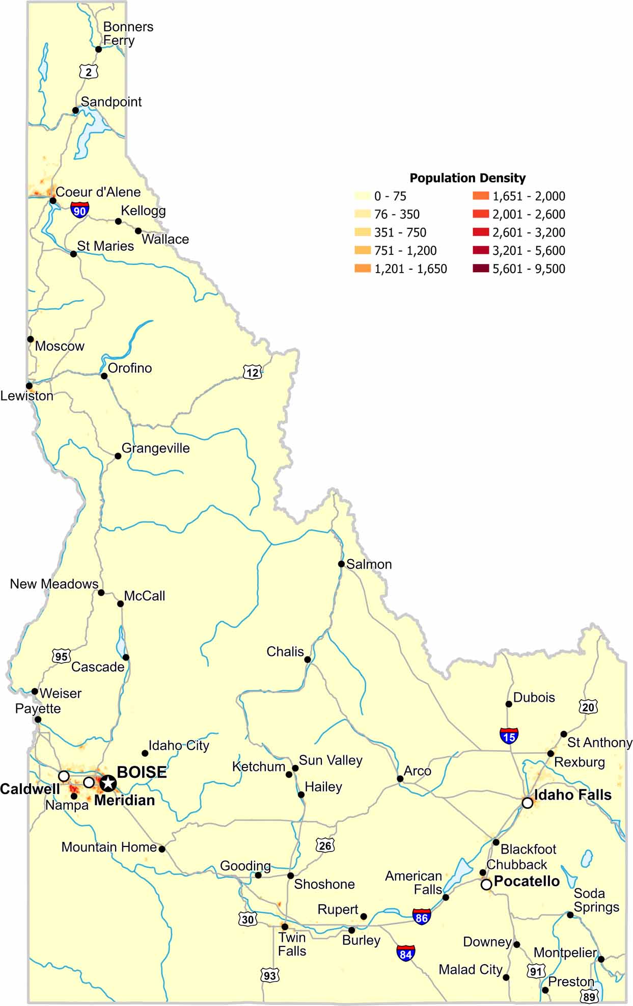
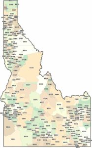
Most of Idaho remains lightly populated because its terrain limits widespread development. The only major density appears near cities like Boise and Meridian. Our population density map shows gridded population of the Gem State.
Map Information
Population Density Map of Idaho
Data provided by NASA SEDAC Gridded Population of the World
Free for personal and commercial purpose. Attribution is required. How to attribute?
On the Map
State Capital:BoiseMajor Cities:Caldwell, Coeur d’Alene, Idaho Falls, Lewiston, Meridian, Nampa, Pocatello, Twin FallsCities and Towns: American Falls, Arco, Blackfoot, Bonners Ferry, Burley, Cascade, Challis, Chubbuck, Downey, Dubois, Gooding, Grangeville, Hailey, Idaho City, Kellogg, Ketchum, Malad City, McCall, Montpelier, Moscow, Mountain Home, New Meadows, Orofino, Payette, Preston, Rexburg, Rupert, Salmon, Sandpoint, Shoshone, Soda Springs, St Anthony, St Maries, Sun Valley, Wallace, WeiserInterstate Highways: I-15, I-84, I-86, I-90US Routes: US-2, US-12, US-20, US-26, US-30, US-89, US-91, US-93, US-95