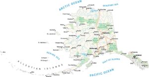
Alaska Lakes and Rivers Map
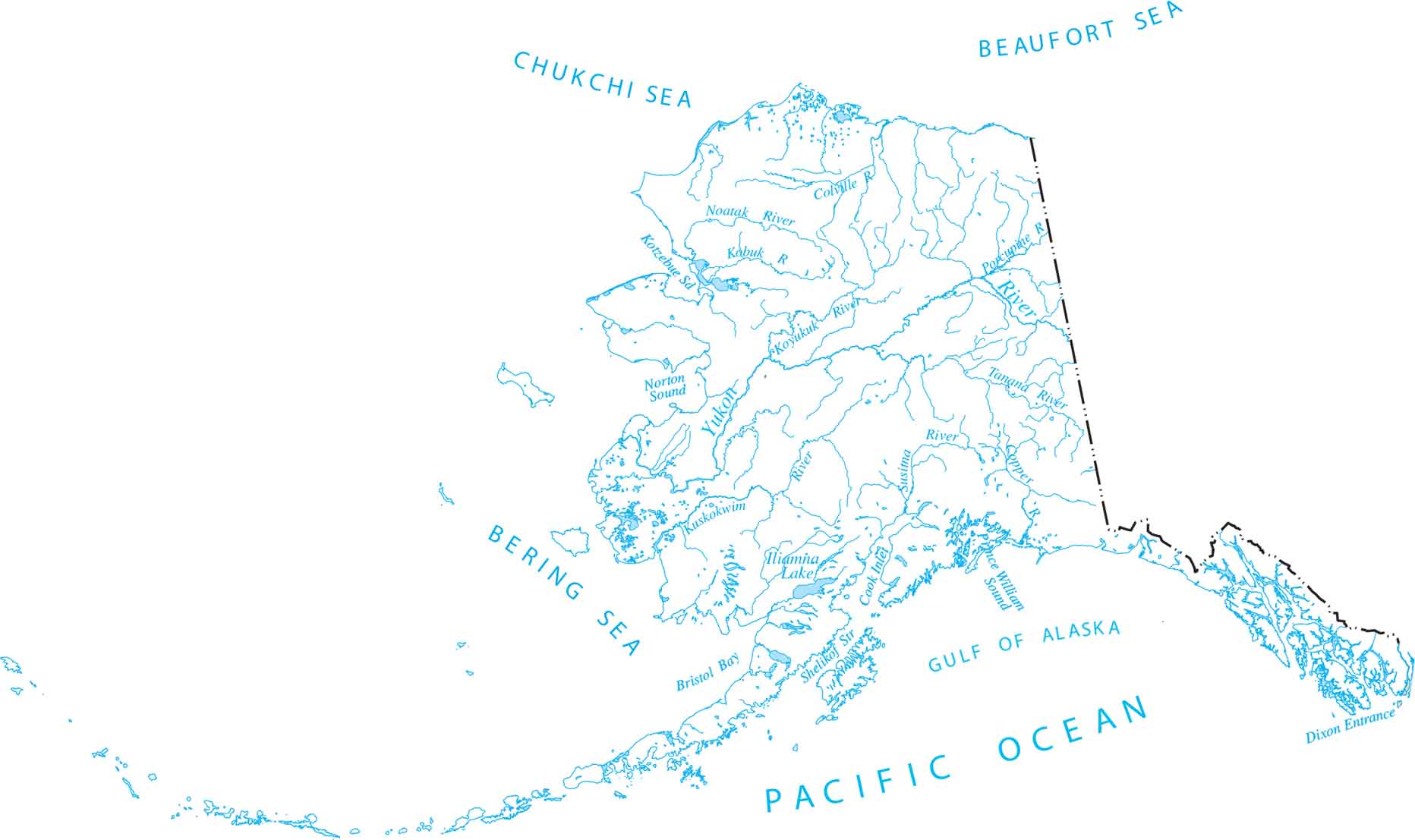
Use our Alaska lakes and rivers map to explore the wildest waterways in America. Our map highlights the Yukon River, one of the longest rivers on the continent. Alaska is separated from the lower 48 states by Canada and stretches from the Pacific Ocean to the Arctic.
Map Information
On the Map
Lakes and Rivers State Maps
Select any state map below to view its lakes and rivers map.


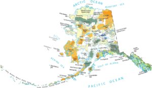
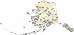
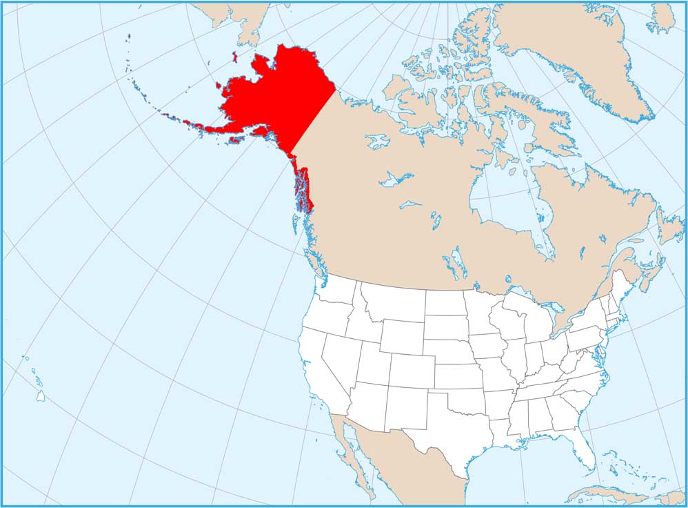
Alaska State Maps
Take a look at our Alaska state maps