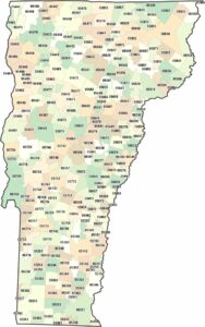
Vermont Counties and Cities Map

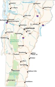
Our map of Vermont shows small counties spread across mountainous terrain. Cities are modest and spaced far apart. The Green Mountains has definitely influenced settlement of major cities here.
Map Information
On the Map
|
Name |
Population 2024 |
Total Area (sq mi) |
FIPS Code |
|
Addison County |
38,047 |
807.8 |
50-001 |
|
Bennington County |
37,039 |
677.7 |
50-003 |
|
Caledonia County |
30,535 |
657.7 |
50-005 |
|
Chittenden County |
170,851 |
619.3 |
50-007 |
|
Essex County |
6,037 |
674.7 |
50-009 |
|
Franklin County |
51,066 |
692.1 |
50-011 |
|
Grand Isle County |
7,528 |
194.7 |
50-013 |
|
Lamoille County |
26,248 |
463.8 |
50-015 |
|
Orange County |
30,050 |
691.7 |
50-017 |
|
Orleans County |
27,726 |
721.2 |
50-019 |
|
Rutland County |
60,198 |
944.8 |
50-021 |
|
Washington County |
59,844 |
695.2 |
50-023 |
|
Windham County |
45,627 |
798.2 |
50-025 |
|
Windsor County |
57,697 |
977 |
50-027 |
Counties and Cities Maps
Select any state map below to view its counties and cities map.


Vermont State Maps
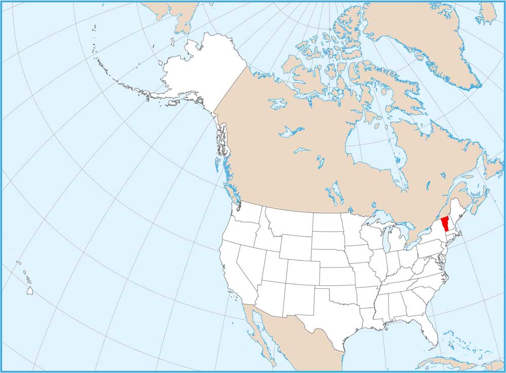
Explore maps from the Green Mountain State.