Arkansas Counties and Cities Map

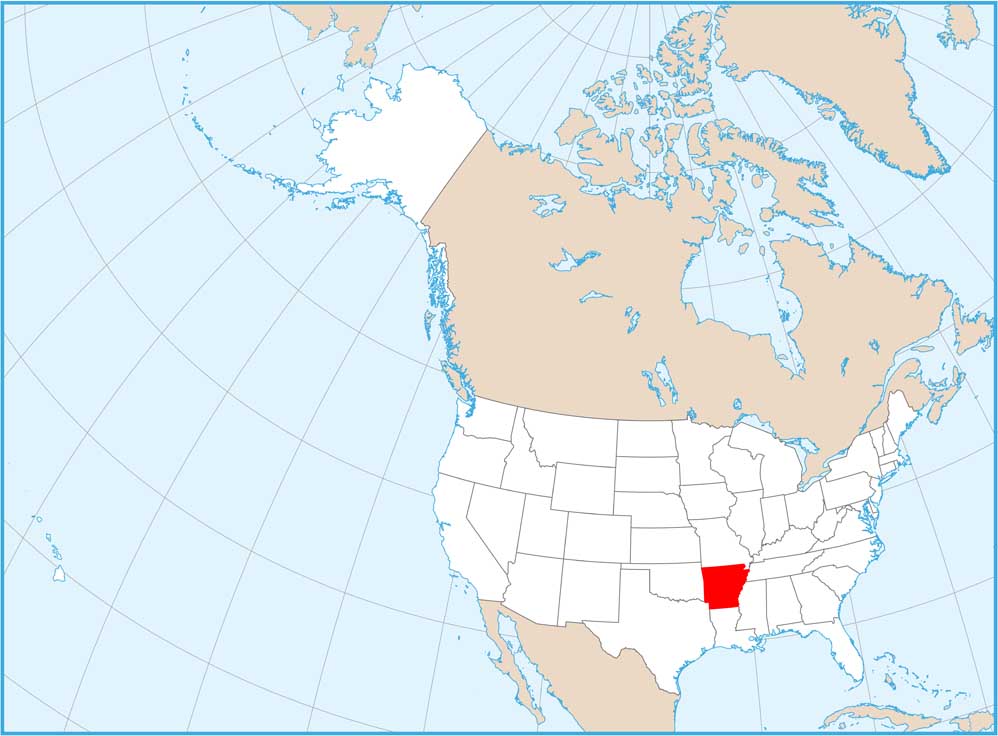
Our map of Arkansas is split into 75 counties. Little Rock is the capital and sits at the state’s geographic center in Pulaski County. Larger cities tend to follow the Arkansas and Mississippi river.
Map Information
On the Map
|
Name |
Population 2024 |
Total Area (sq mi) |
FIPS Code |
|
Arkansas County |
16,050 |
1,033.70 |
05-001 |
|
Ashley County |
17,984 |
940.5 |
05-003 |
|
Baxter County |
43,007 |
586.7 |
05-005 |
|
Benton County |
321,566 |
883.9 |
05-007 |
|
Boone County |
38,636 |
602 |
05-009 |
|
Bradley County |
9,935 |
652.9 |
05-011 |
|
Calhoun County |
4,690 |
632.4 |
05-013 |
|
Carroll County |
28,968 |
638.6 |
05-015 |
|
Chicot County |
9,272 |
690.8 |
05-017 |
|
Clark County |
20,920 |
882.8 |
05-019 |
|
Clay County |
14,112 |
641.4 |
05-021 |
|
Cleburne County |
25,646 |
591.9 |
05-023 |
|
Cleveland County |
7,367 |
598.7 |
05-025 |
|
Columbia County |
22,024 |
766.7 |
05-027 |
|
Conway County |
21,422 |
566.7 |
05-029 |
|
Craighead County |
115,852 |
712.7 |
05-031 |
|
Crawford County |
62,258 |
603.2 |
05-033 |
|
Crittenden County |
46,633 |
636.4 |
05-035 |
|
Cross County |
16,194 |
622.3 |
05-037 |
|
Dallas County |
6,076 |
668.1 |
05-039 |
|
Desha County |
10,321 |
819.5 |
05-041 |
|
Drew County |
16,935 |
835.7 |
05-043 |
|
Faulkner County |
131,611 |
664.1 |
05-045 |
|
Franklin County |
17,586 |
619.6 |
05-047 |
|
Fulton County |
12,546 |
620.3 |
05-049 |
|
Garland County |
99,902 |
734.6 |
05-051 |
|
Grant County |
18,546 |
632.9 |
05-053 |
|
Greene County |
46,928 |
579.5 |
05-055 |
|
Hempstead County |
19,105 |
741.2 |
05-057 |
|
Hot Spring County |
33,313 |
622.2 |
05-059 |
|
Howard County |
12,387 |
595.3 |
05-061 |
|
Independence County |
38,345 |
771.5 |
05-063 |
|
Izard County |
14,291 |
584 |
05-065 |
|
Jackson County |
16,673 |
641.5 |
05-067 |
|
Jefferson County |
63,672 |
913.8 |
05-069 |
|
Johnson County |
26,172 |
682.7 |
05-071 |
|
Lafayette County |
6,015 |
545.1 |
05-073 |
|
Lawrence County |
16,305 |
592.3 |
05-075 |
|
Lee County |
8,104 |
619.5 |
05-077 |
|
Lincoln County |
12,868 |
572.2 |
05-079 |
|
Little River County |
11,626 |
564.8 |
05-081 |
|
Logan County |
21,457 |
731.5 |
05-083 |
|
Lonoke County |
76,389 |
802.8 |
05-085 |
|
Madison County |
17,865 |
837.1 |
05-087 |
|
Marion County |
17,593 |
640.3 |
05-089 |
|
Miller County |
41,958 |
637.6 |
05-091 |
|
Mississippi County |
38,095 |
919.8 |
05-093 |
|
Monroe County |
6,415 |
621.3 |
05-095 |
|
Montgomery County |
8,510 |
800.3 |
05-097 |
|
Nevada County |
8,004 |
620.6 |
05-099 |
|
Newton County |
7,026 |
823.2 |
05-101 |
|
Ouachita County |
21,684 |
739.7 |
05-103 |
|
Perry County |
10,251 |
560.5 |
05-105 |
|
Phillips County |
14,661 |
727.3 |
05-107 |
|
Pike County |
10,027 |
614.1 |
05-109 |
|
Poinsett County |
22,300 |
763.6 |
05-111 |
|
Polk County |
19,434 |
862.5 |
05-113 |
|
Pope County |
64,829 |
830.8 |
05-115 |
|
Prairie County |
7,935 |
675.6 |
05-117 |
|
Pulaski County |
401,209 |
807.7 |
05-119 |
|
Randolph County |
19,040 |
656 |
05-121 |
|
St. Francis County |
21,822 |
642.5 |
05-123 |
|
Saline County |
131,252 |
730.5 |
05-125 |
|
Scott County |
9,837 |
898 |
05-127 |
|
Searcy County |
7,836 |
668.5 |
05-129 |
|
Sebastian County |
130,035 |
547.2 |
05-131 |
|
Sevier County |
15,735 |
581.3 |
05-133 |
|
Sharp County |
18,130 |
606.4 |
05-135 |
|
Stone County |
12,785 |
609.4 |
05-137 |
|
Union County |
37,008 |
1,055.20 |
05-139 |
|
Van Buren County |
16,152 |
724.3 |
05-141 |
|
Washington County |
266,184 |
952.4 |
05-143 |
|
White County |
79,091 |
1,042.10 |
05-145 |
|
Woodruff County |
5,808 |
594 |
05-147 |
|
Yell County |
20,134 |
948.9 |
05-149 |
Counties and Cities Maps
Select any state map below to view its counties and cities map.


