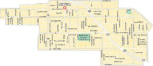
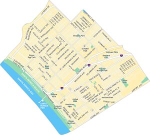
Beverly Hills Map, Los Angeles
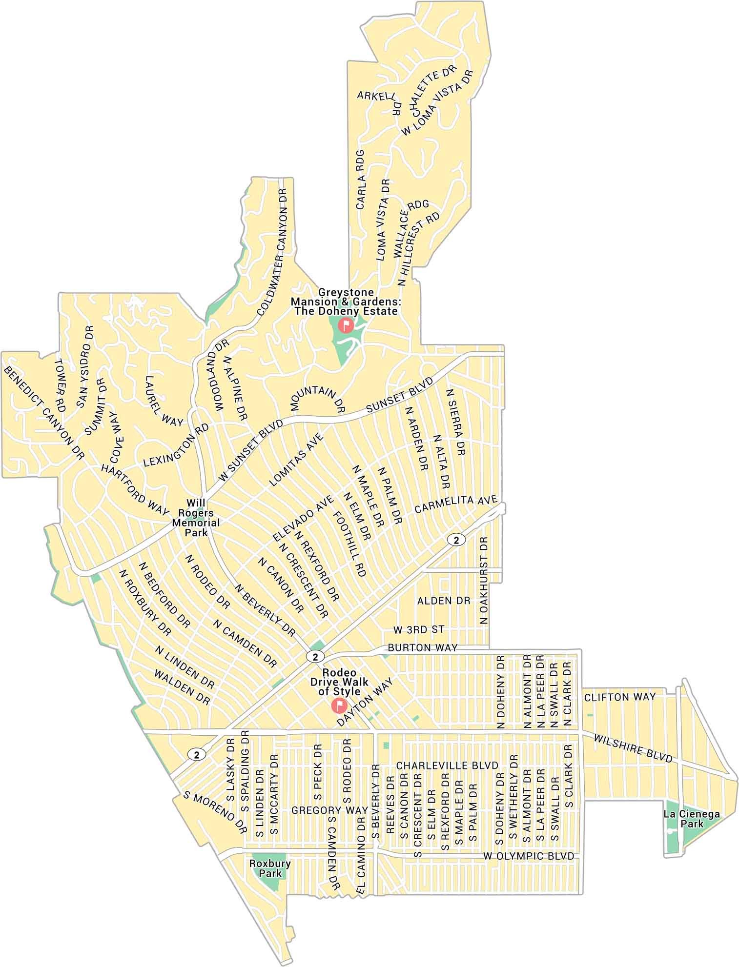
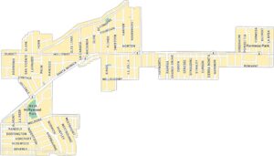
Here’s our map of Beverly Hills, the glamorous pocket west of Los Angeles. It lays out Rodeo Drive, Sunset Boulevard, and the roads that travel toward West Hollywood and Century City.
Map Information
On the Map
Interstates/Highways: Santa Monica Blvd (SR 2) Major Roads: Wilshire Blvd, Sunset Blvd, Olympic Blvd, Rodeo Dr, Beverly Dr, Canon Dr, Crescent Dr, Rexford Dr, Doheny Dr, Benedict Canyon Dr, Coldwater Canyon Dr, Laurel Way, Hillcrest Rd, Loma Vista Dr, Linden Dr, Roxbury Dr, Bedford Dr, Peck Dr, Camden Dr Parks: Will Rogers Memorial Park, Roxbury Park, La Cienega Park Landmarks: Rodeo Drive Walk of Style, Greystone Mansion & Gardens: The Doheny EstateLos Angeles Neighborhood Maps
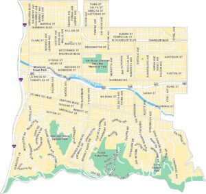
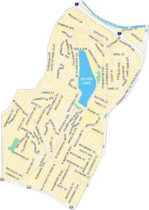
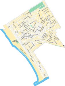
See our neighborhood maps for a closer look of the city.
California City Maps
Here are detailed maps of California


