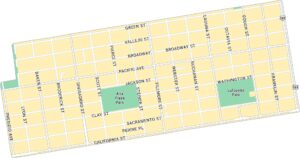
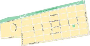
Chinatown Map, San Francisco
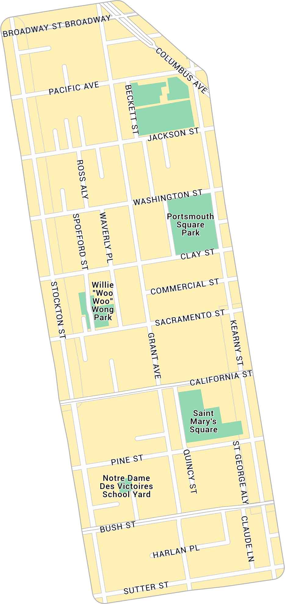
Our map of Chinatown in San Francisco highlights the narrow streets. It shows main routes, local parks, and the roads leading toward Union Square and the Financial District.
Map Information
On the Map
Major Roads: Broadway, Bush St, Pine St, California St, Sacramento St, Clay St, Washington St, Jackson St, Pacific Ave, Powell St, Stockton St, Grant Ave, Kearny St, Montgomery St, Sansome St Parks: Woh Hei Yuen Park, Willie “Woo Woo” Wong Playground, Portsmouth SquareSan Francisco Neighborhood Maps
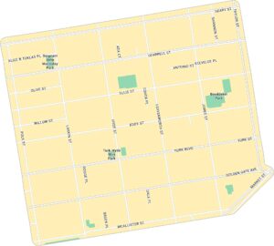
See our neighborhood maps for a closer look of the city.
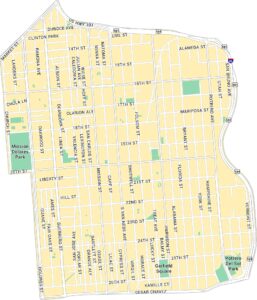
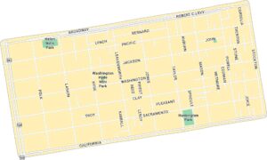
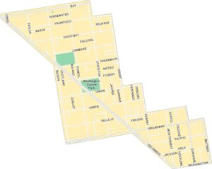
California City Maps
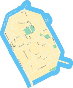
Here are detailed maps of California


