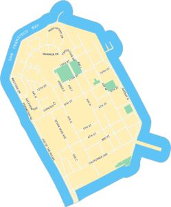
Fisherman’s Wharf Map, San Francisco
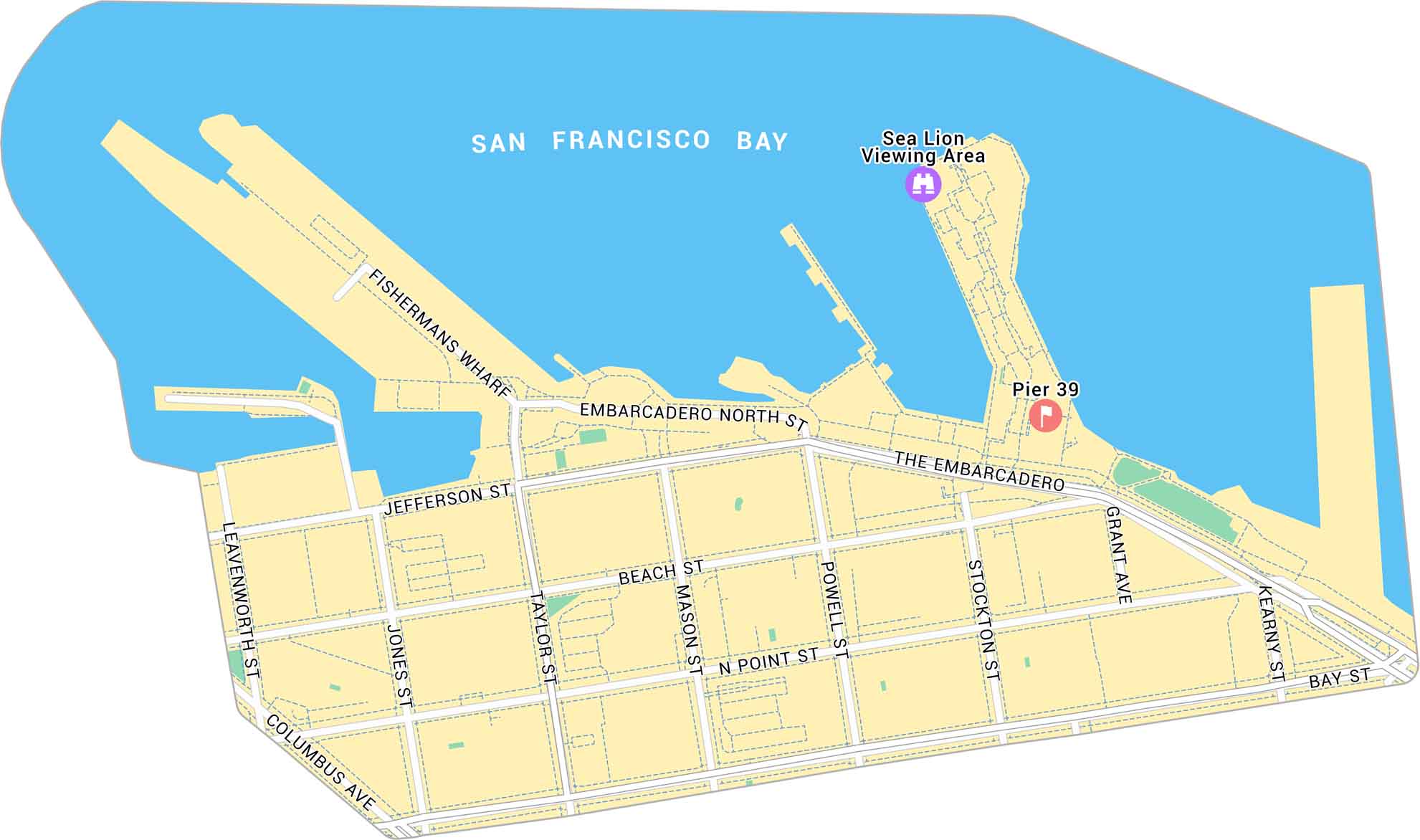
Our map of Fisherman’s Wharf shows the waterfront district on San Francisco’s northern edge. It marks the piers, sea lion viewing area, and main routes along the bay. It’s definitely a busy stretch of the city filled with sights, sounds, and salt air.
Map Information
On the Map
Major Roads: The Embarcadero, Columbus Ave, Jefferson St, Beach St, N Point St, Bay St, Embarcadero North St, Taylor St, Mason St, Powell St, Stockton St, Grant Ave, Kearny St, Leavenworth St, Jones St Reservoirs: San Francisco Bay Landmarks: Pier 39, Sea Lion Viewing AreaSan Francisco Neighborhood Maps
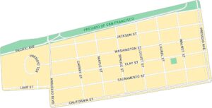
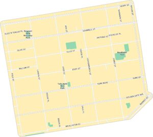
See our neighborhood maps for a closer look of the city.
California City Maps
Here are detailed maps of California


