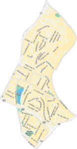
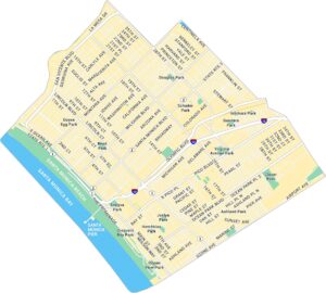
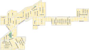
Hollywood Map, Los Angeles
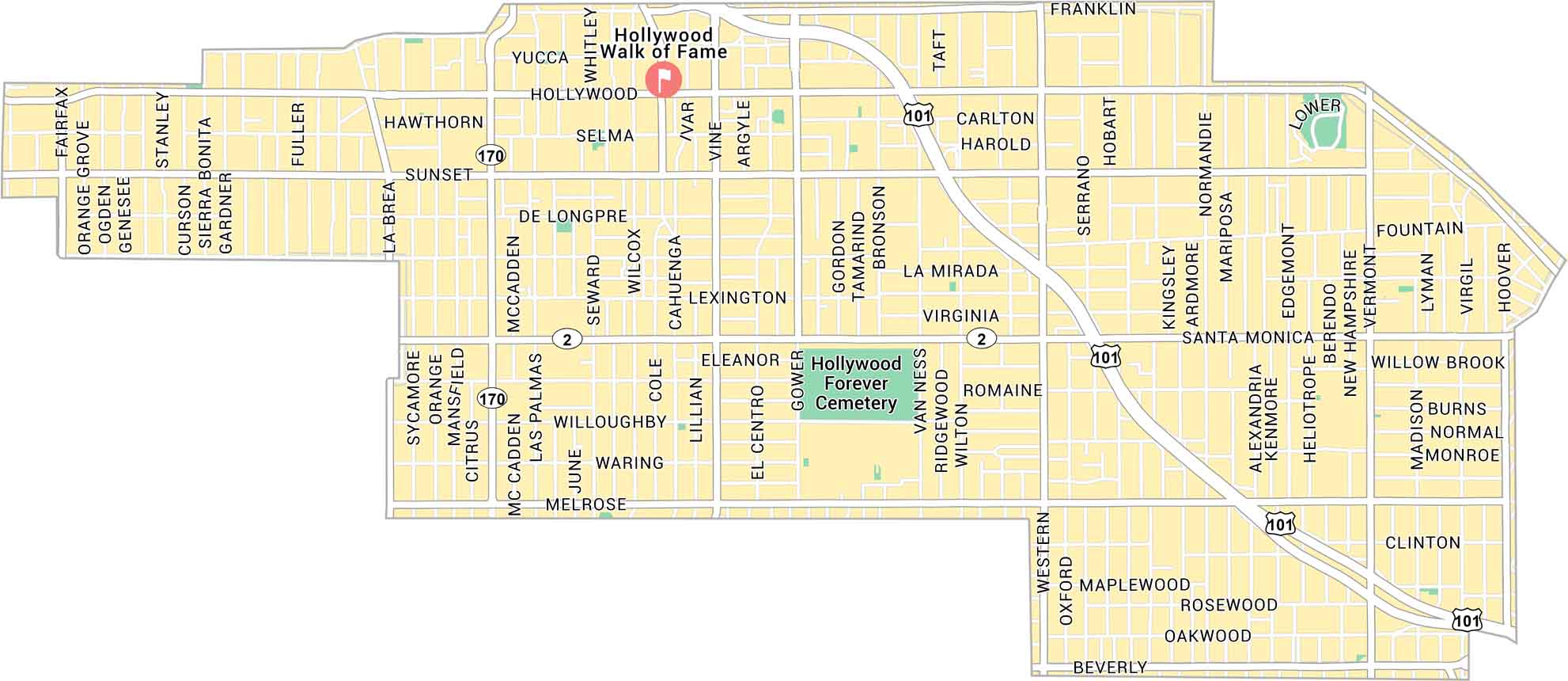
Hollywood sits in the heart of Los Angeles, backed by the hills and cut through by Sunset and Hollywood Boulevard. Our map shows its main streets and highways. It’s a loud, bright stretch of the city that never really stops moving.
Map Information
On the Map
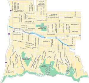
Interstates/Highways: US Hwy 101, State Rte 170 Major Roads: Sunset Blvd, Hollywood Blvd, Santa Monica Blvd, Melrose Ave, Western Ave, La Brea Ave, Vine St, Cahuenga Blvd, Gower St, Highland Ave, Fairfax Ave, Franklin Ave, Fountain Ave, Beverly Blvd, Wilcox Ave, Ivar Ave, Argyle Ave, Bronson Ave, Van Ness Ave, Wilton Pl Landmarks: Hollywood Forever CemeteryLos Angeles Neighborhood Maps
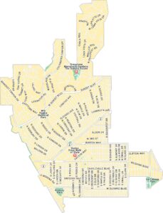
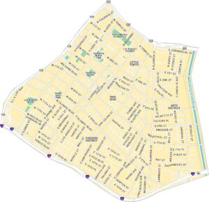
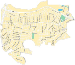
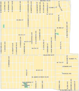
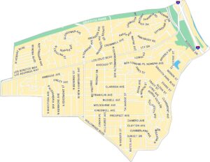
See our neighborhood maps for a closer look of the city.
California City Maps
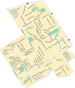
Here are detailed maps of California


