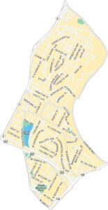
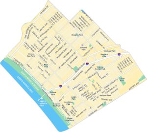
Koreatown Map, Los Angeles
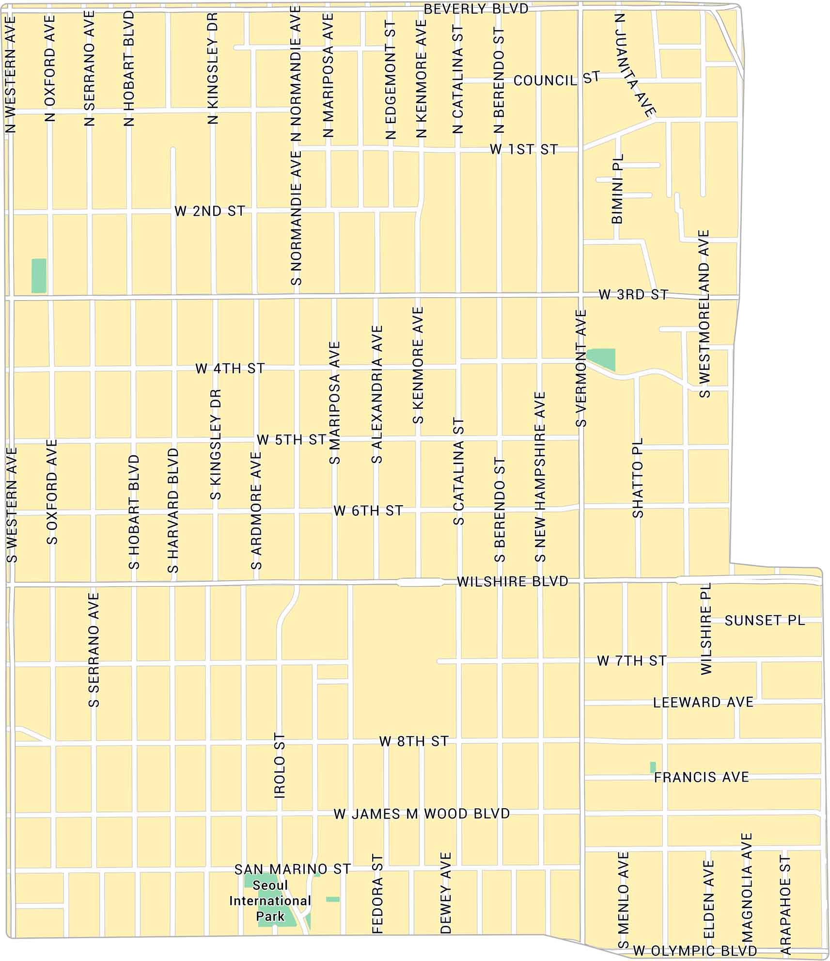
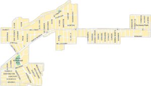
Koreatown sits just west of downtown Los Angeles. From Wilshire to 3rd Street, this map lays out major boulevards and nearby parks.
Map Information
On the Map
Major Roads: Wilshire Blvd, Olympic Blvd, Beverly Blvd, Western Ave, Vermont Ave, Normandie Ave, 3rd St, 6th St, 8th St, 1st St, 2nd St, 4th St, 5th St, 7th St, James M Wood Blvd, Mariposa Ave, Alexandria Ave, Kenmore Ave, Catalina St, Berendo St Parks: Seoul International ParkLos Angeles Neighborhood Maps
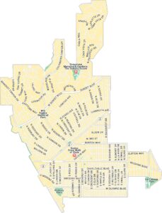
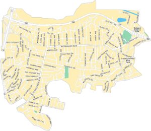
See our neighborhood maps for a closer look of the city.
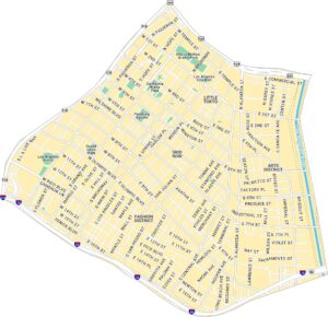
California City Maps
Here are detailed maps of California


